Area Overview for B20 1DL
Photos of B20 1DL
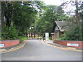
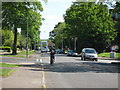
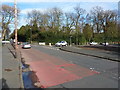
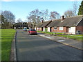
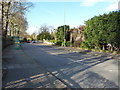
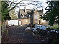
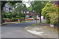
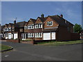
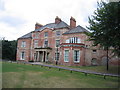
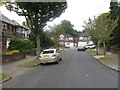
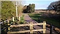
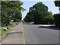
13 photos from this area
Area Information
Key information about the B20 1DL including its size, population, and administrative classification.
- Area Type
- Postcode
- Area Size
- 9255 m²
- Population
- 1796
- Population Density
- 5091 people/km²
House Prices in B20 1DL
18
Properties
£182,300
Average Sold Price
£71,000
Lowest Price
£358,000
Highest Price
Showing 18 properties
| Address | Type | Beds | Baths | Last Sale Price | Last Sale Date | |
|---|---|---|---|---|---|---|
| 36 Hamstead Hill, Birmingham, B20 1DL | Detached | 5 | 2 | £337,000 | Jul 2024 | |
| 42 Hamstead Hill, Birmingham, B20 1DL | Detached | 5 | 2 | £264,000 | Feb 2017 | |
| 28 Hamstead Hill, Birmingham, B20 1DL | Detached | 3 | 1 | £208,000 | Mar 2015 | |
| 16 Hamstead Hill, Birmingham, B20 1DL | Semi-detached | - | - | £150,000 | Nov 2007 | |
| 40 Hamstead Hill, Birmingham, B20 1DL | Detached | - | - | £358,000 | Oct 2005 | |
| 34 Hamstead Hill, Birmingham, B20 1DL | house | - | - | £168,000 | Aug 2003 | |
| 46 Hamstead Hill, Birmingham, B20 1DL | Detached | 5 | 2 | £92,000 | Dec 2000 | |
| 22 Hamstead Hill, Birmingham, B20 1DL | Detached | - | - | £97,000 | Feb 2000 | |
| 44 Hamstead Hill, Birmingham, B20 1DL | house | - | - | £78,000 | Apr 1997 | |
| 26 Hamstead Hill, Birmingham, B20 1DL | Detached | - | - | £71,000 | Mar 1995 |
Page 1 of 2
Energy Efficiency in B20 1DL
Amenities
Schools
| Rank | School | Type | Entry gender | Ages |
|---|
Explore more schools in this area
Go to Schools tabDemographics
Household Size
Family (3-5 people)
most common
Accommodation Type
Houses
most common
Tenure
67
majority
Ethnic Group
asian_total
most common
Religion
N/A
most common
Household Composition
N/A
most common
Age
47
median
Adults (30-64 years)
most common
Household Deprivation
N/A
with no deprivation
NS-SEC
27
in Lower managerial occupations
Explore more demographic insights in this area
Go to Demographics tabPlanning
Planning Constraints
- Flood RiskPremium
- Ramsar Wetland SitesPremium
- Area of Outstanding Natural BeautyPremium
- Protected Nature ReservePremium
- Protected WoodlandPremium