Area Overview for B20 1AU
Photos of B20 1AU
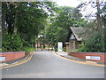
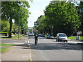
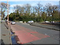
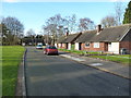
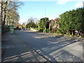
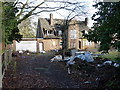
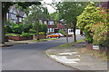
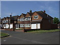
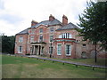
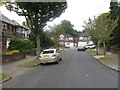
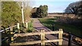
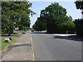
13 photos from this area
Area Information
Key information about the B20 1AU including its size, population, and administrative classification.
- Area Type
- Postcode
- Area Size
- 6517 m²
- Population
- 1796
- Population Density
- 5091 people/km²
House Prices in B20 1AU
16
Properties
£235,864
Average Sold Price
£92,500
Lowest Price
£385,000
Highest Price
Showing 16 properties
| Address | Type | Beds | Baths | Last Sale Price | Last Sale Date | |
|---|---|---|---|---|---|---|
| 83 Grestone Avenue, Birmingham, B20 1AU | Retail | 5 | 2 | £385,000 | Sep 2022 | |
| 79 Grestone Avenue, Birmingham, B20 1AU | house | 3 | - | £310,000 | Jun 2022 | |
| 55 Grestone Avenue, Birmingham, B20 1AU | house | 5 | 2 | £331,000 | Jan 2022 | |
| 59 Grestone Avenue, Birmingham, B20 1AU | house | - | - | £245,000 | Jan 2022 | |
| 57 Grestone Avenue, Birmingham, B20 1AU | house | - | - | £272,000 | Jan 2021 | |
| 85 Grestone Avenue, Birmingham, B20 1AU | house | - | - | £290,000 | Jan 2021 | |
| 67 Grestone Avenue, Birmingham, B20 1AU | house | - | - | £249,000 | Apr 2014 | |
| 65 Grestone Avenue, Birmingham, B20 1AU | house | - | - | £203,000 | Feb 2006 | |
| 71 Grestone Avenue, Birmingham, B20 1AU | Terraced | - | - | £92,500 | Oct 2001 | |
| 63 Grestone Avenue, Birmingham, B20 1AU | house | - | - | £115,000 | Sep 2001 |
Page 1 of 2
Energy Efficiency in B20 1AU
Amenities
Schools
| Rank | School | Type | Entry gender | Ages |
|---|
Explore more schools in this area
Go to Schools tabDemographics
Household Size
Family (3-5 people)
most common
Accommodation Type
Houses
most common
Tenure
67
majority
Ethnic Group
asian_total
most common
Religion
N/A
most common
Household Composition
N/A
most common
Age
47
median
Adults (30-64 years)
most common
Household Deprivation
N/A
with no deprivation
NS-SEC
27
in Lower managerial occupations
Explore more demographic insights in this area
Go to Demographics tabPlanning
Planning Constraints
- Flood RiskPremium
- Ramsar Wetland SitesPremium
- Area of Outstanding Natural BeautyPremium
- Protected Nature ReservePremium
- Protected WoodlandPremium