Area Overview for B20 1AJ
Photos of B20 1AJ
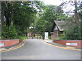
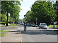
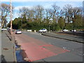
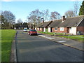
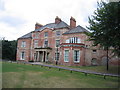
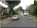
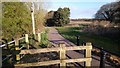
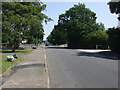
13 photos from this area
Area Information
Key information about the B20 1AJ including its size, population, and administrative classification.
- Area Type
- Postcode
- Area Size
- 1.3 hectares
- Population
- 1796
- Population Density
- 5091 people/km²
House Prices in B20 1AJ
33
Properties
£151,020
Average Sold Price
£42,500
Lowest Price
£285,000
Highest Price
Showing 33 properties
| Address | Type | Beds | Baths | Last Sale Price | Last Sale Date | |
|---|---|---|---|---|---|---|
| 66 Wheaton Vale, Birmingham, B20 1AJ | Semi-detached | 3 | 1 | £232,000 | May 2023 | |
| 36 Wheaton Vale, Birmingham, B20 1AJ | house | - | - | £220,000 | Feb 2022 | |
| 8 Wheaton Vale, Birmingham, B20 1AJ | house | - | - | £285,000 | Dec 2021 | |
| 60 Wheaton Vale, Birmingham, B20 1AJ | Semi-detached | 3 | 1 | £172,500 | May 2021 | |
| 54 Wheaton Vale, Birmingham, B20 1AJ | house | - | - | £215,000 | Mar 2021 | |
| 18 Wheaton Vale, Birmingham, B20 1AJ | house | - | - | £210,000 | Mar 2020 | |
| 4 Wheaton Vale, Birmingham, B20 1AJ | Bungalow | 2 | 1 | £190,000 | Apr 2019 | |
| 12 Wheaton Vale, Birmingham, B20 1AJ | Detached | 3 | 1 | £173,000 | Dec 2018 | |
| 26 Wheaton Vale, Birmingham, B20 1AJ | house | - | - | £161,500 | Jul 2017 | |
| 48 Wheaton Vale, Birmingham, B20 1AJ | Semi-detached | 3 | 4 | £150,000 | Mar 2017 |
Page 1 of 4
Energy Efficiency in B20 1AJ
Amenities
Schools
| Rank | School | Type | Entry gender | Ages |
|---|
Explore more schools in this area
Go to Schools tabDemographics
Household Size
Family (3-5 people)
most common
Accommodation Type
Houses
most common
Tenure
67
majority
Ethnic Group
asian_total
most common
Religion
N/A
most common
Household Composition
N/A
most common
Age
47
median
Adults (30-64 years)
most common
Household Deprivation
N/A
with no deprivation
NS-SEC
27
in Lower managerial occupations
Explore more demographic insights in this area
Go to Demographics tabPlanning
Planning Constraints
- Flood RiskPremium
- Ramsar Wetland SitesPremium
- Area of Outstanding Natural BeautyPremium
- Protected Nature ReservePremium
- Protected WoodlandPremium