Area Overview for B17 9PE
Photos of B17 9PE
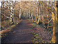
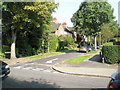
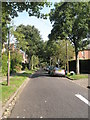
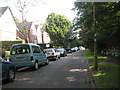
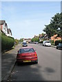
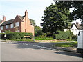
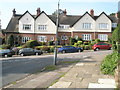
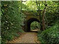
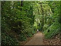
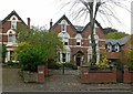
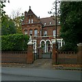
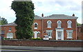
68 photos from this area
Area Information
Key information about the B17 9PE including its size, population, and administrative classification.
- Area Type
- Postcode
- Area Size
- 2090 m²
- Population
- 1633
- Population Density
- 2944 people/km²
House Prices in B17 9PE
13
Properties
£320,275
Average Sold Price
£170,000
Lowest Price
£410,000
Highest Price
Showing 13 properties
| Address | Type | Beds | Baths | Last Sale Price | Last Sale Date | |
|---|---|---|---|---|---|---|
| 101 North Road, Harborne, Birmingham, B17 9PE | Detached | 4 | 2 | £342,750 | Oct 2022 | |
| 95 North Road, Harborne, Birmingham, B17 9PE | Terraced | 3 | 2 | £377,500 | Dec 2021 | |
| 91 North Road, Harborne, Birmingham, B17 9PE | Terraced | 3 | 2 | £397,000 | Nov 2020 | |
| 97 North Road, Harborne, Birmingham, B17 9PE | Terraced | 3 | 1 | £410,000 | Jan 2019 | |
| 89 North Road, Harborne, Birmingham, B17 9PE | Terraced | 3 | 2 | £295,000 | Nov 2016 | |
| 83 North Road, Harborne, Birmingham, B17 9PE | Terraced | - | - | £279,950 | Sep 2006 | |
| 81 North Road, Harborne, Birmingham, B17 9PE | Terraced | - | - | £290,000 | Jan 2005 | |
| 79 North Road, Harborne, Birmingham, B17 9PE | Terraced | 3 | 2 | £170,000 | Nov 2002 | |
| 77 North Road, Harborne, Birmingham, B17 9PE | Terraced | 3 | 1 | - | - | |
| 85 North Road, Harborne, Birmingham, B17 9PE | Terraced | - | - | - | - |
Page 1 of 2
Energy Efficiency in B17 9PE
Amenities
Schools
| Rank | School | Type | Entry gender | Ages |
|---|
Explore more schools in this area
Go to Schools tabDemographics
Household Size
Family (3-5 people)
most common
Accommodation Type
Houses
most common
Tenure
72
majority
Ethnic Group
White
most common
Religion
N/A
most common
Household Composition
N/A
most common
Age
47
median
Adults (30-64 years)
most common
Household Deprivation
N/A
with no deprivation
NS-SEC
59
in Lower managerial occupations
Explore more demographic insights in this area
Go to Demographics tabPlanning
Planning Constraints
- Flood RiskPremium
- Ramsar Wetland SitesPremium
- Area of Outstanding Natural BeautyPremium
- Protected Nature ReservePremium
- Protected WoodlandPremium