Area Overview for B15 3JY
Photos of B15 3JY
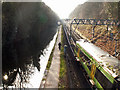
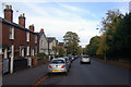
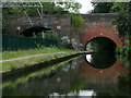
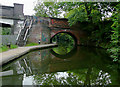
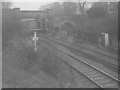
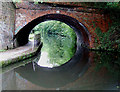
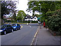
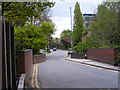
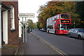
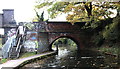
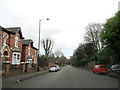
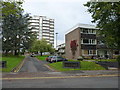
73 photos from this area
Area Information
Key information about the B15 3JY including its size, population, and administrative classification.
- Area Type
- Postcode
- Area Size
- 1.0 hectares
- Population
- 1685
- Population Density
- 2646 people/km²
House Prices in B15 3JY
25
Properties
£581,524
Average Sold Price
£328,500
Lowest Price
£1,155,000
Highest Price
Showing 25 properties
| Address | Type | Beds | Baths | Last Sale Price | Last Sale Date | |
|---|---|---|---|---|---|---|
| 26 Kingscote Road, Birmingham, B15 3JY | house | 5 | 4 | £1,155,000 | May 2025 | |
| 60 Kingscote Road, Birmingham, B15 3JY | Semi-detached | 2 | 1 | £340,000 | Aug 2024 | |
| 48 Kingscote Road, Birmingham, B15 3JY | Semi-detached | 5 | 2 | £600,000 | Jun 2022 | |
| 10 Kingscote Road, Birmingham, B15 3JY | Detached | 4 | 2 | £795,000 | Feb 2022 | |
| 40 Kingscote Road, Birmingham, B15 3JY | house | - | - | £765,000 | Feb 2021 | |
| 12 Kingscote Road, Birmingham, B15 3JY | Semi-detached | 4 | 2 | £697,000 | Nov 2020 | |
| 62 Kingscote Road, Birmingham, B15 3JY | house | - | - | £355,000 | Jul 2020 | |
| 52 Kingscote Road, Birmingham, B15 3JY | Semi-detached | 4 | 1 | £480,000 | Nov 2019 | |
| 42 Kingscote Road, Birmingham, B15 3JY | Detached | 4 | 3 | £780,000 | Jan 2019 | |
| 50 Kingscote Road, Birmingham, B15 3JY | house | - | - | £617,900 | Dec 2015 |
Page 1 of 3
Energy Efficiency in B15 3JY
Amenities
Schools
| Rank | School | Type | Entry gender | Ages |
|---|
Explore more schools in this area
Go to Schools tabDemographics
Household Size
Two person
most common
Accommodation Type
Houses
most common
Tenure
69
majority
Ethnic Group
White
most common
Religion
N/A
most common
Household Composition
N/A
most common
Age
22
median
Young Adults (15-29 years)
most common
Household Deprivation
N/A
with no deprivation
NS-SEC
36
in Lower managerial occupations
Explore more demographic insights in this area
Go to Demographics tabPlanning
Planning Constraints
- Flood RiskPremium
- Ramsar Wetland SitesPremium
- Area of Outstanding Natural BeautyPremium
- Protected Nature ReservePremium
- Protected WoodlandPremium