Area Overview for B16 0TF
Photos of B16 0TF
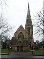
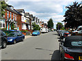
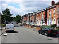
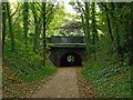
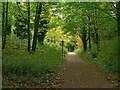
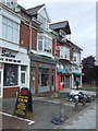
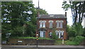
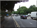
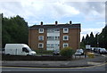
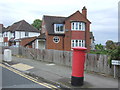

60 photos from this area
Area Information
Key information about the B16 0TF including its size, population, and administrative classification.
- Area Type
- Postcode
- Area Size
- 2.0 hectares
- Population
- 1968
- Population Density
- 5595 people/km²
House Prices in B16 0TF
38
Properties
£264,855
Average Sold Price
£85,000
Lowest Price
£545,000
Highest Price
Showing 38 properties
| Address | Type | Beds | Baths | Last Sale Price | Last Sale Date | |
|---|---|---|---|---|---|---|
| 5 Statham Drive, Birmingham, B16 0TF | Semi-detached | 3 | 1 | £275,000 | Jan 2025 | |
| 10 Statham Drive, Birmingham, B16 0TF | Detached | 5 | 2 | £545,000 | Mar 2024 | |
| 16 Statham Drive, Birmingham, B16 0TF | Detached | 4 | 2 | £250,000 | Sep 2020 | |
| 39 Statham Drive, Birmingham, B16 0TF | Detached | 4 | 1 | £474,000 | Jan 2018 | |
| 6 Statham Drive, Birmingham, B16 0TF | house | - | - | £324,950 | Oct 2016 | |
| 21 Statham Drive, Birmingham, B16 0TF | Detached | 3 | 2 | £139,600 | Oct 2016 | |
| 28 Statham Drive, Birmingham, B16 0TF | house | - | - | £249,000 | Sep 2005 | |
| 41 Statham Drive, Birmingham, B16 0TF | Detached | - | - | £220,000 | May 2004 | |
| 29 Statham Drive, Birmingham, B16 0TF | Terraced | - | - | £85,000 | Oct 1999 | |
| 22 Statham Drive, Birmingham, B16 0TF | Detached | - | - | £86,000 | Sep 1997 |
Page 1 of 4
Energy Efficiency in B16 0TF
Amenities
Schools
| Rank | School | Type | Entry gender | Ages |
|---|
Explore more schools in this area
Go to Schools tabDemographics
Household Size
Family (3-5 people)
most common
Accommodation Type
Houses
most common
Tenure
48
majority
Ethnic Group
asian_total
most common
Religion
N/A
most common
Household Composition
N/A
most common
Age
47
median
Adults (30-64 years)
most common
Household Deprivation
N/A
with no deprivation
NS-SEC
32
in Lower managerial occupations
Explore more demographic insights in this area
Go to Demographics tabPlanning
Planning Constraints
- Flood RiskPremium
- Ramsar Wetland SitesPremium
- Area of Outstanding Natural BeautyPremium
- Protected Nature ReservePremium
- Protected WoodlandPremium