Area Overview for B16 0LU
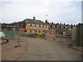
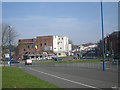
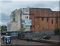
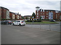
Photos of B16 0LU
Area Information
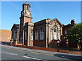
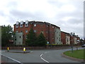
B16 0LU is a compact residential postcode in the heart of Birmingham’s North Edgbaston ward, a historically tree-lined area that once earned the nickname “where the trees begin.” With a population of 2,198 spread across 755 square metres, it is one of the city’s most densely populated areas, reflecting its long-standing role as a residential hub. The ward lies immediately south-west of Birmingham’s city centre, historically part of Warwickshire before being absorbed into the city in 1912. Its 19th-century heritage as a refuge for wealthier residents persists in its low-rise housing stock and proximity to landmarks like Edgbaston Hall and Edgbaston Pool. Daily life here is shaped by its proximity to Birmingham’s cultural and commercial core, with easy access to transport networks and a mix of retail and leisure amenities. The area’s small size means it is ideal for those seeking a compact, well-connected community within the city, though its density demands careful consideration of local infrastructure and services.
- Area Type
- Postcode
- Area Size
- 755 m²
- Population
- 2198
- Population Density
- 2728 people/km²
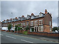
B16 0LU is a small, tightly defined area where 56% of properties are owner-occupied, with housing stock dominated by houses rather than flats or apartments. This suggests a community of long-term residents who have invested in property, likely benefiting from the area’s historical appeal and proximity to Birmingham’s city centre. The limited size of the postcode means that the housing market here is highly localized, with buyers needing to consider nearby areas for broader options. The predominance of houses may indicate a preference for private, family-oriented living, though the high population density raises questions about the availability of larger properties. For buyers, this area offers a mix of established homes and potential for long-term value, but the small footprint means competition for available properties is likely to be intense.
House Prices in B16 0LU
No properties found in this postcode.
Energy Efficiency in B16 0LU
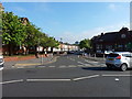
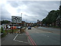
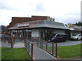
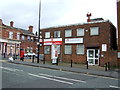
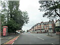
The lifestyle in B16 0LU is defined by its proximity to a range of amenities, from retail to transport. Within practical reach are five retail venues, including Farmfoods Smethwick and M&S Midland, offering everything from groceries to clothing. Metro stations like Edgbaston Village and Soho Benson Road provide easy access to Birmingham’s broader network, while rail services such as Five Ways Railway Station connect residents to regional destinations. The area’s historic character is complemented by its modern conveniences, making it ideal for those who value both heritage and accessibility. Parks and green spaces, though not explicitly named in the data, are likely present given the ward’s 19th-century emphasis on tree-lined streets. This blend of urban infrastructure and historical charm supports a lifestyle that balances convenience with a sense of place.
Amenities
Schools
B16 0LU is served by two primary schools: The Oratory Roman Catholic Primary School and Ladywood School. Both are primary institutions, catering to younger children and providing parents with options for early education. The repetition of The Oratory Roman Catholic Primary School in the data may indicate a nearby branch or a duplicate entry, but the presence of two primary schools within the area offers a degree of choice for families. The absence of secondary schools nearby means that students will need to travel to other parts of Birmingham for further education, which is a common feature in smaller residential wards. For parents prioritizing primary schooling, the availability of two schools is a practical advantage, though the lack of secondary options should be factored into long-term planning.
| Rank | School | Type | Entry gender | Ages |
|---|
Explore more schools in this area
Go to Schools tabDemographics
The population of B16 0LU is predominantly adults aged 30–64, with a median age of 47. This suggests a mature, settled community, likely with established careers and family structures. Home ownership rates stand at 56%, indicating a mix of long-term residents and those seeking stable housing. The accommodation type is primarily houses, which aligns with the area’s historic character and low-rise development. The predominant ethnic group is the Asian community, reflecting broader demographic trends in Birmingham. While the data does not specify deprivation levels, the high population density and concentration of owner-occupied homes suggest a community that values stability and proximity to urban amenities. The absence of detailed socioeconomic data means that quality of life factors such as income levels or access to public services cannot be fully assessed, but the demographic profile points to a cohesive, middle-aged population with strong ties to the area.
Household Size
Accommodation Type
Tenure
Ethnic Group
Religion
Household Composition
Age
Household Deprivation
NS-SEC
Explore more demographic insights in this area
Go to Demographics tabPlanning
Planning Constraints
- Flood RiskPremium
- Ramsar Wetland SitesPremium
- Area of Outstanding Natural BeautyPremium
- Protected Nature ReservePremium
- Protected WoodlandPremium