Area Overview for B16 0NL
Photos of B16 0NL
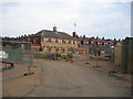
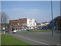
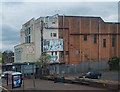
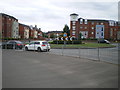
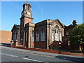
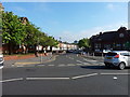
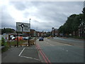
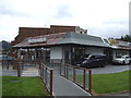
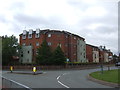
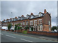
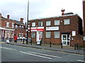
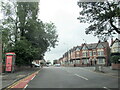
38 photos from this area
Area Information
Key information about the B16 0NL including its size, population, and administrative classification.
- Area Type
- Postcode
- Area Size
- 7964 m²
- Population
- 1942
- Population Density
- 8925 people/km²
House Prices in B16 0NL
40
Properties
£125,500
Average Sold Price
£53,500
Lowest Price
£251,000
Highest Price
Showing 40 properties
| Address | Type | Beds | Baths | Last Sale Price | Last Sale Date | |
|---|---|---|---|---|---|---|
| 140 City Road, Soho, Birmingham, B16 0NL | Terraced | 6 | 6 | £251,000 | Dec 2018 | |
| 124 City Road, Soho, Birmingham, B16 0NL | Terraced | 6 | - | £181,000 | Jun 2003 | |
| 120 City Road, Soho, Birmingham, B16 0NL | house | - | - | £84,000 | Jul 2001 | |
| 136 City Road, Soho, Birmingham, B16 0NL | house | - | - | £53,500 | Mar 1998 | |
| 138 City Road, Soho, Birmingham, B16 0NL | house | - | - | £58,000 | Jul 1997 | |
| 126 City Road, Soho, Birmingham, B16 0NL | Semi-detached | 5 | 2 | - | - | |
| Ground Floor, 122 City Road, Soho, Birmingham, B16 0NL | Flat | - | - | - | - | |
| First Floor, 122 City Road, Soho, Birmingham, B16 0NL | Flat | - | - | - | - | |
| 132 City Road, Soho, Birmingham, B16 0NL | house | - | - | - | - | |
| 128 City Road, Soho, Birmingham, B16 0NL | Semi-detached | - | - | - | - |
Page 1 of 4
Energy Efficiency in B16 0NL
Amenities
Schools
| Rank | School | Type | Entry gender | Ages |
|---|
Explore more schools in this area
Go to Schools tabDemographics
Household Size
One person
most common
Accommodation Type
Houses
most common
Tenure
44
majority
Ethnic Group
asian_total
most common
Religion
N/A
most common
Household Composition
N/A
most common
Age
47
median
Adults (30-64 years)
most common
Household Deprivation
N/A
with no deprivation
NS-SEC
14
in Lower managerial occupations
Explore more demographic insights in this area
Go to Demographics tabPlanning
Planning Constraints
- Flood RiskPremium
- Ramsar Wetland SitesPremium
- Area of Outstanding Natural BeautyPremium
- Protected Nature ReservePremium
- Protected WoodlandPremium