Area Overview for B15 3SD
Photos of B15 3SD

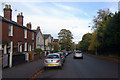
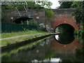
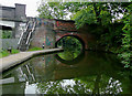

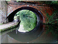
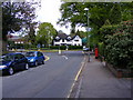
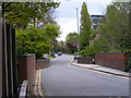
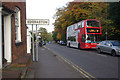
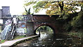
73 photos from this area
Area Information
Key information about the B15 3SD including its size, population, and administrative classification.
- Area Type
- Postcode
- Area Size
- 3.0 hectares
- Population
- 1685
- Population Density
- 2646 people/km²
House Prices in B15 3SD
23
Properties
£546,400
Average Sold Price
£59,404
Lowest Price
£900,000
Highest Price
Showing 23 properties
| Address | Type | Beds | Baths | Last Sale Price | Last Sale Date | |
|---|---|---|---|---|---|---|
| 20 Mead Rise, Birmingham, B15 3SD | Bungalow | 4 | 2 | £650,000 | Sep 2020 | |
| 9 Mead Rise, Birmingham, B15 3SD | Bungalow | 2 | 2 | £700,000 | Sep 2018 | |
| 26 Mead Rise, Birmingham, B15 3SD | Bungalow | 5 | 4 | £855,000 | Dec 2017 | |
| 2 Mead Rise, Birmingham, B15 3SD | Bungalow | 3 | 2 | £625,000 | Mar 2016 | |
| 16 Mead Rise, Birmingham, B15 3SD | Detached | 6 | 3 | £900,000 | Dec 2015 | |
| 1 Mead Rise, Birmingham, B15 3SD | Detached | 5 | 2 | £648,000 | Aug 2014 | |
| 28 Mead Rise, Birmingham, B15 3SD | Detached | 5 | 3 | £835,000 | Sep 2013 | |
| 18 Mead Rise, Birmingham, B15 3SD | Detached | 4 | 2 | £555,000 | Aug 2013 | |
| 24 Mead Rise, Birmingham, B15 3SD | house | 3 | 1 | £570,000 | Feb 2013 | |
| 5 Mead Rise, Birmingham, B15 3SD | house | 4 | - | £460,000 | Jun 2010 |
Page 1 of 3
Energy Efficiency in B15 3SD
Amenities
Schools
| Rank | School | Type | Entry gender | Ages |
|---|
Explore more schools in this area
Go to Schools tabDemographics
Household Size
Two person
most common
Accommodation Type
Houses
most common
Tenure
69
majority
Ethnic Group
White
most common
Religion
N/A
most common
Household Composition
N/A
most common
Age
22
median
Young Adults (15-29 years)
most common
Household Deprivation
N/A
with no deprivation
NS-SEC
36
in Lower managerial occupations
Explore more demographic insights in this area
Go to Demographics tabPlanning
Planning Constraints
- Flood RiskPremium
- Ramsar Wetland SitesPremium
- Area of Outstanding Natural BeautyPremium
- Protected Nature ReservePremium
- Protected WoodlandPremium