Area Overview for B15 2LG
Photos of B15 2LG
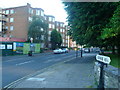
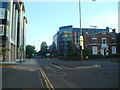
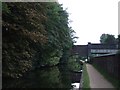
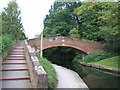
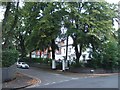
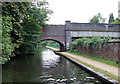
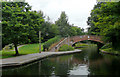
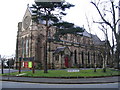

100 photos from this area
Area Information
Key information about the B15 2LG including its size, population, and administrative classification.
- Area Type
- Postcode
- Area Size
- 3008 m²
- Population
- 2702
- Population Density
- 4130 people/km²
House Prices in B15 2LG
6
Properties
£239,300
Average Sold Price
£127,500
Lowest Price
£445,000
Highest Price
Showing 6 properties
| Address | Type | Beds | Baths | Last Sale Price | Last Sale Date | |
|---|---|---|---|---|---|---|
| 57 Estria Road, Birmingham, B15 2LG | Semi-detached | 3 | 1 | £445,000 | May 2025 | |
| 61 Estria Road, Birmingham, B15 2LG | Terraced | 3 | - | £250,000 | Oct 2014 | |
| 63 Estria Road, Birmingham, B15 2LG | Terraced | 3 | 1 | £229,000 | Sep 2004 | |
| 59 Estria Road, Birmingham, B15 2LG | Terraced | - | - | £145,000 | Mar 2002 | |
| 55 Estria Road, Birmingham, B15 2LG | house | - | - | £127,500 | May 2001 | |
| 53 Estria Road, Birmingham, B15 2LG | Terraced | - | - | - | - |
Energy Efficiency in B15 2LG
Amenities
Schools
| Rank | School | Type | Entry gender | Ages |
|---|
Explore more schools in this area
Go to Schools tabDemographics
Household Size
One person
most common
Accommodation Type
Houses
most common
Tenure
72
majority
Ethnic Group
White
most common
Religion
N/A
most common
Household Composition
N/A
most common
Age
22
median
Young Adults (15-29 years)
most common
Household Deprivation
N/A
with no deprivation
NS-SEC
17
in Lower managerial occupations
Explore more demographic insights in this area
Go to Demographics tabPlanning
Planning Constraints
- Flood RiskPremium
- Ramsar Wetland SitesPremium
- Area of Outstanding Natural BeautyPremium
- Protected Nature ReservePremium
- Protected WoodlandPremium