Area Overview for B14 7SU
Photos of B14 7SU
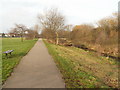
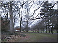
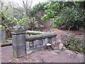
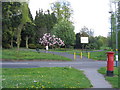
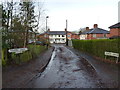
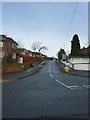
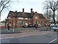

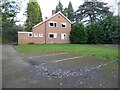
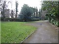
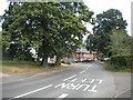
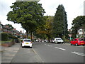
77 photos from this area
Area Information
Key information about the B14 7SU including its size, population, and administrative classification.
- Area Type
- Postcode
- Area Size
- 1.0 hectares
- Population
- 1535
- Population Density
- 10206 people/km²
House Prices in B14 7SU
39
Properties
£195,363
Average Sold Price
£14,298
Lowest Price
£396,980
Highest Price
Showing 39 properties
| Address | Type | Beds | Baths | Last Sale Price | Last Sale Date | |
|---|---|---|---|---|---|---|
| 128 Westfield Road, Moseley And Kings Heath, Birmingham, B14 7SU | Terraced | 1 | 1 | £340,000 | Oct 2021 | |
| 98 Westfield Road, Moseley And Kings Heath, Birmingham, B14 7SU | Terraced | 5 | 3 | £396,980 | Jan 2020 | |
| 104 Westfield Road, Moseley And Kings Heath, Birmingham, B14 7SU | Terraced | 4 | 1 | £312,000 | Oct 2019 | |
| 90 Westfield Road, Moseley And Kings Heath, Birmingham, B14 7SU | house | 1 | - | £245,000 | Aug 2017 | |
| 118 Westfield Road, Moseley And Kings Heath, Birmingham, B14 7SU | Terraced | 4 | 1 | £225,000 | May 2017 | |
| 102 Westfield Road, Moseley And Kings Heath, Birmingham, B14 7SU | Terraced | 4 | 2 | £310,000 | Feb 2017 | |
| 84 Westfield Road, Moseley And Kings Heath, Birmingham, B14 7SU | house | - | - | £14,298 | Jan 2015 | |
| 94 Westfield Road, Moseley And Kings Heath, Birmingham, B14 7SU | Terraced | 4 | 2 | £220,000 | Jun 2013 | |
| 100 Westfield Road, Moseley And Kings Heath, Birmingham, B14 7SU | house | - | - | £215,000 | Aug 2009 | |
| 82 Westfield Road, Moseley And Kings Heath, Birmingham, B14 7SU | house | - | - | £190,000 | Oct 2007 |
Page 1 of 4
Energy Efficiency in B14 7SU
Amenities
Schools
| Rank | School | Type | Entry gender | Ages |
|---|
Explore more schools in this area
Go to Schools tabDemographics
Household Size
Family (3-5 people)
most common
Accommodation Type
Houses
most common
Tenure
70
majority
Ethnic Group
White
most common
Religion
N/A
most common
Household Composition
N/A
most common
Age
47
median
Adults (30-64 years)
most common
Household Deprivation
N/A
with no deprivation
NS-SEC
47
in Lower managerial occupations
Explore more demographic insights in this area
Go to Demographics tabPlanning
Planning Constraints
- Flood RiskPremium
- Ramsar Wetland SitesPremium
- Area of Outstanding Natural BeautyPremium
- Protected Nature ReservePremium
- Protected WoodlandPremium