Area Overview for B14 6TW
Photos of B14 6TW
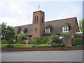
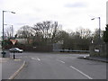
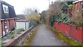
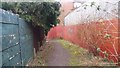
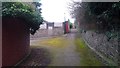
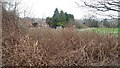
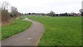
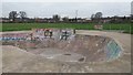
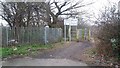
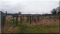
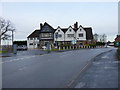
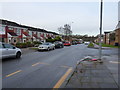
24 photos from this area
Area Information
Key information about the B14 6TW including its size, population, and administrative classification.
- Area Type
- Postcode
- Area Size
- 7549 m²
- Population
- Not available
- Population Density
- Not available
House Prices in B14 6TW
16
Properties
£183,375
Average Sold Price
£124,000
Lowest Price
£295,000
Highest Price
Showing 16 properties
| Address | Type | Beds | Baths | Last Sale Price | Last Sale Date | |
|---|---|---|---|---|---|---|
| 21 Mercia Drive, Birmingham, B14 6TW | Terraced | 2 | 1 | £235,000 | Mar 2025 | |
| 19 Mercia Drive, Birmingham, B14 6TW | Terraced | 2 | 1 | £230,000 | May 2024 | |
| 15 Mercia Drive, Birmingham, B14 6TW | Terraced | 2 | 1 | £210,500 | Feb 2024 | |
| 17 Mercia Drive, Birmingham, B14 6TW | Semi-detached | 2 | 1 | £235,000 | Apr 2022 | |
| 11 Mercia Drive, Birmingham, B14 6TW | Terraced | 2 | 1 | £185,000 | Jan 2019 | |
| 1 Mercia Drive, Birmingham, B14 6TW | Semi-detached | 6 | 2 | £295,000 | Jul 2018 | |
| 3 Mercia Drive, Birmingham, B14 6TW | Semi-detached | 1 | 5 | £295,000 | Jul 2018 | |
| 25 Mercia Drive, Birmingham, B14 6TW | house | 2 | 1 | £147,000 | Apr 2015 | |
| 23 Mercia Drive, Birmingham, B14 6TW | Terraced | 2 | 1 | £139,000 | Sep 2004 | |
| 29 Mercia Drive, Birmingham, B14 6TW | house | - | - | £160,000 | Jul 2003 |
Page 1 of 2
Energy Efficiency in B14 6TW
Amenities
Schools
| Rank | School | Type | Entry gender | Ages |
|---|
Explore more schools in this area
Go to Schools tabDemographics
Household Size
One person
most common
Accommodation Type
Houses
most common
Tenure
47
majority
Ethnic Group
White
most common
Religion
N/A
most common
Household Composition
N/A
most common
Age
47
median
Adults (30-64 years)
most common
Household Deprivation
N/A
with no deprivation
NS-SEC
25
in Lower managerial occupations
Explore more demographic insights in this area
Go to Demographics tabPlanning
Planning Constraints
- Flood RiskPremium
- Ramsar Wetland SitesPremium
- Area of Outstanding Natural BeautyPremium
- Protected Nature ReservePremium
- Protected WoodlandPremium