Area Overview for B14 6SQ
Photos of B14 6SQ
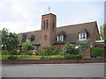
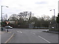
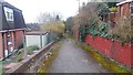
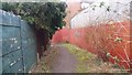
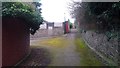
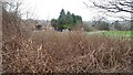
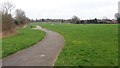
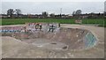
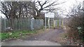
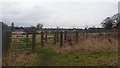
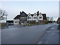
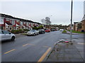
24 photos from this area
Area Information
Key information about the B14 6SQ including its size, population, and administrative classification.
- Area Type
- Postcode
- Area Size
- 1.0 hectares
- Population
- Not available
- Population Density
- Not available
House Prices in B14 6SQ
24
Properties
£120,208
Average Sold Price
£54,500
Lowest Price
£229,000
Highest Price
Showing 24 properties
| Address | Type | Beds | Baths | Last Sale Price | Last Sale Date | |
|---|---|---|---|---|---|---|
| 4 Reeves Road, Birmingham, B14 6SQ | house | - | - | £229,000 | Feb 2022 | |
| 15 Reeves Road, Birmingham, B14 6SQ | Semi-detached | 4 | 2 | £170,000 | Feb 2018 | |
| 1 Reeves Road, Birmingham, B14 6SQ | Semi-detached | 3 | 1 | £141,500 | Dec 2014 | |
| 5 Reeves Road, Birmingham, B14 6SQ | Semi-detached | 3 | - | £112,000 | Sep 2013 | |
| 2 Reeves Road, Birmingham, B14 6SQ | Semi-detached | - | - | £142,000 | Jan 2009 | |
| 20 Reeves Road, Birmingham, B14 6SQ | house | - | - | £90,000 | Nov 2008 | |
| 3 Reeves Road, Birmingham, B14 6SQ | house | 3 | 1 | £135,000 | Jun 2007 | |
| 8 Reeves Road, Birmingham, B14 6SQ | Semi-detached | - | - | £132,000 | Feb 2007 | |
| 6 Reeves Road, Birmingham, B14 6SQ | Semi-detached | - | - | £105,500 | Jun 2004 | |
| 7 Reeves Road, Birmingham, B14 6SQ | Detached | - | - | £75,000 | Sep 2002 |
Page 1 of 3
Energy Efficiency in B14 6SQ
Amenities
Schools
| Rank | School | Type | Entry gender | Ages |
|---|
Explore more schools in this area
Go to Schools tabDemographics
Household Size
One person
most common
Accommodation Type
Houses
most common
Tenure
47
majority
Ethnic Group
White
most common
Religion
N/A
most common
Household Composition
N/A
most common
Age
47
median
Adults (30-64 years)
most common
Household Deprivation
N/A
with no deprivation
NS-SEC
25
in Lower managerial occupations
Explore more demographic insights in this area
Go to Demographics tabPlanning
Planning Constraints
- Flood RiskPremium
- Ramsar Wetland SitesPremium
- Area of Outstanding Natural BeautyPremium
- Protected Nature ReservePremium
- Protected WoodlandPremium