Area Overview for B14 6SG
Photos of B14 6SG
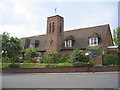
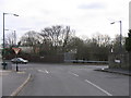
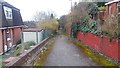
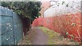
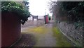
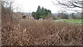
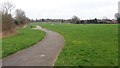
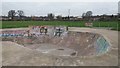
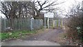
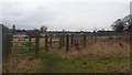
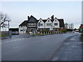
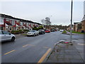
24 photos from this area
Area Information
Key information about the B14 6SG including its size, population, and administrative classification.
- Area Type
- Postcode
- Area Size
- 1.0 hectares
- Population
- Not available
- Population Density
- Not available
House Prices in B14 6SG
26
Properties
£139,810
Average Sold Price
£39,000
Lowest Price
£255,000
Highest Price
Showing 26 properties
| Address | Type | Beds | Baths | Last Sale Price | Last Sale Date | |
|---|---|---|---|---|---|---|
| 44 Reeves Road, Birmingham, B14 6SG | house | 3 | 1 | £255,000 | Mar 2025 | |
| 35 Reeves Road, Birmingham, B14 6SG | house | - | - | £222,000 | Aug 2022 | |
| 52 Reeves Road, Birmingham, B14 6SG | house | - | - | £94,340 | Oct 2021 | |
| 19 Reeves Road, Birmingham, B14 6SG | Semi-detached | 3 | 1 | £179,000 | Apr 2019 | |
| 25 Reeves Road, Birmingham, B14 6SG | house | - | - | £145,000 | Mar 2018 | |
| 27 Reeves Road, Birmingham, B14 6SG | house | - | - | £114,000 | Aug 2014 | |
| 29 Reeves Road, Birmingham, B14 6SG | Semi-detached | 3 | - | £139,950 | Jun 2014 | |
| 32 Reeves Road, Birmingham, B14 6SG | Semi-detached | - | - | £70,000 | Mar 2006 | |
| 37 Reeves Road, Birmingham, B14 6SG | house | - | - | £39,000 | Dec 2002 | |
| 34 Reeves Road, Birmingham, B14 6SG | Detached | 3 | 1 | - | - |
Page 1 of 3
Energy Efficiency in B14 6SG
Amenities
Schools
| Rank | School | Type | Entry gender | Ages |
|---|
Explore more schools in this area
Go to Schools tabDemographics
Household Size
One person
most common
Accommodation Type
Houses
most common
Tenure
47
majority
Ethnic Group
White
most common
Religion
N/A
most common
Household Composition
N/A
most common
Age
47
median
Adults (30-64 years)
most common
Household Deprivation
N/A
with no deprivation
NS-SEC
25
in Lower managerial occupations
Explore more demographic insights in this area
Go to Demographics tabPlanning
Planning Constraints
- Flood RiskPremium
- Ramsar Wetland SitesPremium
- Area of Outstanding Natural BeautyPremium
- Protected Nature ReservePremium
- Protected WoodlandPremium