Area Overview for B14 6LT
Photos of B14 6LT
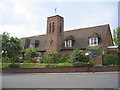
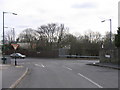
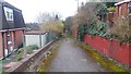
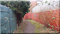
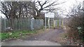
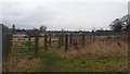
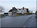
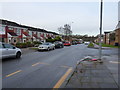
24 photos from this area
Area Information
Key information about the B14 6LT including its size, population, and administrative classification.
- Area Type
- Postcode
- Area Size
- 1.4 hectares
- Population
- 1458
- Population Density
- 7427 people/km²
House Prices in B14 6LT
40
Properties
£211,329
Average Sold Price
£44,625
Lowest Price
£425,000
Highest Price
Showing 40 properties
| Address | Type | Beds | Baths | Last Sale Price | Last Sale Date | |
|---|---|---|---|---|---|---|
| 71 Yarningale Road, Birmingham, B14 6LT | Semi-detached | 3 | 1 | £311,000 | Oct 2025 | |
| 57 Yarningale Road, Birmingham, B14 6LT | Semi-detached | 3 | 1 | £300,000 | Jul 2025 | |
| 25 Yarningale Road, Birmingham, B14 6LT | Detached | 3 | 1 | £425,000 | Oct 2024 | |
| 45 Yarningale Road, Birmingham, B14 6LT | Semi-detached | 3 | 1 | £385,000 | Sep 2024 | |
| 87 Yarningale Road, Birmingham, B14 6LT | Semi-detached | 3 | 2 | £210,000 | May 2024 | |
| 91 Yarningale Road, Birmingham, B14 6LT | Semi-detached | 3 | - | £76,988 | May 2024 | |
| 15 Yarningale Road, Birmingham, B14 6LT | house | 3 | 1 | £360,000 | Sep 2023 | |
| 73 Yarningale Road, Birmingham, B14 6LT | house | - | - | £243,000 | Oct 2021 | |
| 27 Yarningale Road, Birmingham, B14 6LT | house | - | - | £369,500 | Apr 2021 | |
| 11 Yarningale Road, Birmingham, B14 6LT | house | - | - | £335,000 | Feb 2021 |
Page 1 of 4
Energy Efficiency in B14 6LT
Amenities
Schools
| Rank | School | Type | Entry gender | Ages |
|---|
Explore more schools in this area
Go to Schools tabDemographics
Household Size
Family (3-5 people)
most common
Accommodation Type
Houses
most common
Tenure
57
majority
Ethnic Group
White
most common
Religion
N/A
most common
Household Composition
N/A
most common
Age
47
median
Adults (30-64 years)
most common
Household Deprivation
N/A
with no deprivation
NS-SEC
29
in Lower managerial occupations
Explore more demographic insights in this area
Go to Demographics tabPlanning
Planning Constraints
- Flood RiskPremium
- Ramsar Wetland SitesPremium
- Area of Outstanding Natural BeautyPremium
- Protected Nature ReservePremium
- Protected WoodlandPremium