Area Overview for B14 6BG
Photos of B14 6BG
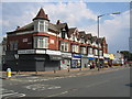
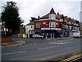
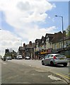
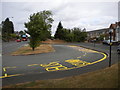
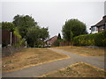
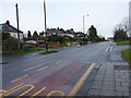
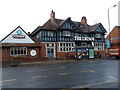
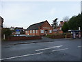
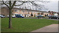

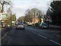
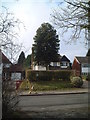
20 photos from this area
Area Information
Key information about the B14 6BG including its size, population, and administrative classification.
- Area Type
- Postcode
- Area Size
- 2.0 hectares
- Population
- 1588
- Population Density
- 4347 people/km²
House Prices in B14 6BG
29
Properties
£290,924
Average Sold Price
£62,000
Lowest Price
£495,000
Highest Price
Showing 29 properties
| Address | Type | Beds | Baths | Last Sale Price | Last Sale Date | |
|---|---|---|---|---|---|---|
| 39 Westminster Drive, Birmingham, B14 6BG | Semi-detached | 2 | 1 | £290,000 | Aug 2025 | |
| 41 Westminster Drive, Birmingham, B14 6BG | Bungalow | 2 | 1 | £270,000 | Apr 2025 | |
| 43 Westminster Drive, Birmingham, B14 6BG | Bungalow | 3 | 2 | £495,000 | Mar 2025 | |
| 21 Westminster Drive, Birmingham, B14 6BG | Semi-detached | 3 | 2 | £375,000 | Feb 2025 | |
| 20 Westminster Drive, Birmingham, B14 6BG | Detached | 6 | 4 | £425,000 | Mar 2023 | |
| 47 Westminster Drive, Birmingham, B14 6BG | Bungalow | 3 | 1 | £380,000 | Nov 2019 | |
| 16 Westminster Drive, Birmingham, B14 6BG | Detached | 4 | 2 | £490,400 | Jul 2018 | |
| 17 Westminster Drive, Birmingham, B14 6BG | Semi-detached | 3 | 1 | £292,000 | Dec 2017 | |
| 37 Westminster Drive, Birmingham, B14 6BG | Bungalow | - | - | £250,000 | Jun 2017 | |
| 35 Westminster Drive, Birmingham, B14 6BG | Bungalow | - | - | £312,500 | May 2015 |
Page 1 of 3
Energy Efficiency in B14 6BG
Amenities
Schools
| Rank | School | Type | Entry gender | Ages |
|---|
Explore more schools in this area
Go to Schools tabDemographics
Household Size
Family (3-5 people)
most common
Accommodation Type
Houses
most common
Tenure
83
majority
Ethnic Group
White
most common
Religion
N/A
most common
Household Composition
N/A
most common
Age
47
median
Adults (30-64 years)
most common
Household Deprivation
N/A
with no deprivation
NS-SEC
45
in Lower managerial occupations
Explore more demographic insights in this area
Go to Demographics tabPlanning
Planning Constraints
- Flood RiskPremium
- Ramsar Wetland SitesPremium
- Area of Outstanding Natural BeautyPremium
- Protected Nature ReservePremium
- Protected WoodlandPremium