Area Overview for B14 6AG
Photos of B14 6AG
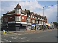
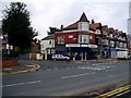
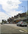
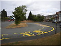
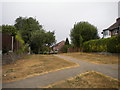
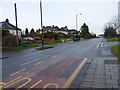
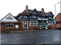
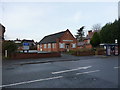
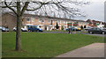

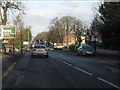
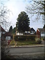
20 photos from this area
Area Information
Key information about the B14 6AG including its size, population, and administrative classification.
- Area Type
- Postcode
- Area Size
- 1.1 hectares
- Population
- Not available
- Population Density
- Not available
House Prices in B14 6AG
17
Properties
£333,400
Average Sold Price
£74,000
Lowest Price
£600,000
Highest Price
Showing 17 properties
| Address | Type | Beds | Baths | Last Sale Price | Last Sale Date | |
|---|---|---|---|---|---|---|
| 133 Hazelhurst Road, Birmingham, B14 6AG | Detached | 4 | 1 | £600,000 | Sep 2021 | |
| 143 Hazelhurst Road, Birmingham, B14 6AG | Detached | 3 | 1 | £410,000 | Oct 2020 | |
| 141 Hazelhurst Road, Birmingham, B14 6AG | Detached | 3 | 1 | £380,000 | Mar 2018 | |
| 125 Hazelhurst Road, Birmingham, B14 6AG | house | - | - | £435,000 | Jun 2017 | |
| 137 Hazelhurst Road, Birmingham, B14 6AG | Detached | 4 | - | £363,000 | Aug 2015 | |
| 129 Hazelhurst Road, Birmingham, B14 6AG | Semi-detached | - | - | £320,000 | Oct 2012 | |
| 127 Hazelhurst Road, Birmingham, B14 6AG | house | - | - | £345,000 | Aug 2010 | |
| 128 Hazelhurst Road, Birmingham, B14 6AG | Semi-detached | - | - | £237,000 | Jun 2004 | |
| 124 Hazelhurst Road, Birmingham, B14 6AG | Semi-detached | - | - | £170,000 | Aug 2001 | |
| 123 Hazelhurst Road, Birmingham, B14 6AG | Semi-detached | 4 | 1 | £74,000 | Mar 1997 |
Page 1 of 2
Energy Efficiency in B14 6AG
Amenities
Schools
| Rank | School | Type | Entry gender | Ages |
|---|
Explore more schools in this area
Go to Schools tabDemographics
Household Size
Family (3-5 people)
most common
Accommodation Type
Houses
most common
Tenure
81
majority
Ethnic Group
White
most common
Religion
N/A
most common
Household Composition
N/A
most common
Age
47
median
Adults (30-64 years)
most common
Household Deprivation
N/A
with no deprivation
NS-SEC
50
in Lower managerial occupations
Explore more demographic insights in this area
Go to Demographics tabPlanning
Planning Constraints
- Flood RiskPremium
- Ramsar Wetland SitesPremium
- Area of Outstanding Natural BeautyPremium
- Protected Nature ReservePremium
- Protected WoodlandPremium