Area Overview for B14 4QN
Photos of B14 4QN
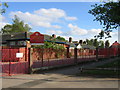
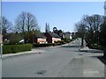
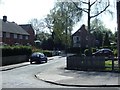
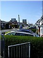
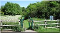
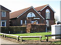
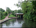
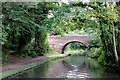
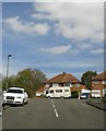
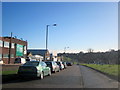

73 photos from this area
Area Information
Key information about the B14 4QN including its size, population, and administrative classification.
- Area Type
- Postcode
- Area Size
- 7943 m²
- Population
- Not available
- Population Density
- Not available
House Prices in B14 4QN
27
Properties
£150,071
Average Sold Price
£35,000
Lowest Price
£230,000
Highest Price
Showing 27 properties
| Address | Type | Beds | Baths | Last Sale Price | Last Sale Date | |
|---|---|---|---|---|---|---|
| 124 Daisy Farm Road, Birmingham, B14 4QN | house | 3 | - | £223,000 | Dec 2025 | |
| 120 Daisy Farm Road, Birmingham, B14 4QN | Terraced | 3 | 1 | £214,250 | Jan 2024 | |
| 140 Daisy Farm Road, Birmingham, B14 4QN | Terraced | 3 | 1 | £230,000 | Nov 2022 | |
| 126 Daisy Farm Road, Birmingham, B14 4QN | Terraced | 3 | 1 | £225,000 | Jul 2022 | |
| 144 Daisy Farm Road, Birmingham, B14 4QN | Terraced | 2 | - | £149,000 | Aug 2019 | |
| 122 Daisy Farm Road, Birmingham, B14 4QN | house | - | - | £150,000 | Feb 2017 | |
| 138 Daisy Farm Road, Birmingham, B14 4QN | house | 2 | 1 | £150,000 | Jun 2016 | |
| 118 Daisy Farm Road, Birmingham, B14 4QN | Terraced | 3 | 1 | £145,000 | Apr 2016 | |
| 150 Daisy Farm Road, Birmingham, B14 4QN | Semi-detached | 3 | - | £146,000 | Oct 2015 | |
| 116 Daisy Farm Road, Birmingham, B14 4QN | Terraced | 3 | - | £117,000 | Jun 2013 |
Page 1 of 3
Energy Efficiency in B14 4QN
Amenities
Schools
| Rank | School | Type | Entry gender | Ages |
|---|
Explore more schools in this area
Go to Schools tabDemographics
Household Size
Family (3-5 people)
most common
Accommodation Type
Houses
most common
Tenure
64
majority
Ethnic Group
White
most common
Religion
N/A
most common
Household Composition
N/A
most common
Age
47
median
Adults (30-64 years)
most common
Household Deprivation
N/A
with no deprivation
NS-SEC
22
in Lower managerial occupations
Explore more demographic insights in this area
Go to Demographics tabPlanning
Planning Constraints
- Flood RiskPremium
- Ramsar Wetland SitesPremium
- Area of Outstanding Natural BeautyPremium
- Protected Nature ReservePremium
- Protected WoodlandPremium