Area Overview for B14 4QA
Photos of B14 4QA
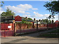
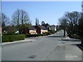
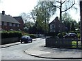
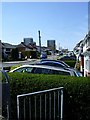
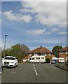

73 photos from this area
Area Information
Key information about the B14 4QA including its size, population, and administrative classification.
- Area Type
- Postcode
- Area Size
- 2.5 hectares
- Population
- Not available
- Population Density
- Not available
House Prices in B14 4QA
39
Properties
£118,689
Average Sold Price
£42,950
Lowest Price
£230,000
Highest Price
Showing 39 properties
| Address | Type | Beds | Baths | Last Sale Price | Last Sale Date | |
|---|---|---|---|---|---|---|
| 49 Daisy Farm Road, Birmingham, B14 4QA | Semi-detached | - | - | £190,500 | Mar 2025 | |
| 15 Daisy Farm Road, Birmingham, B14 4QA | Semi-detached | 3 | 1 | £230,000 | Sep 2024 | |
| 33 Daisy Farm Road, Birmingham, B14 4QA | house | 3 | 1 | £205,000 | Dec 2023 | |
| 26 Daisy Farm Road, Birmingham, B14 4QA | house | 3 | 2 | £179,900 | Feb 2019 | |
| 27 Daisy Farm Road, Birmingham, B14 4QA | Terraced | 3 | 1 | £110,988 | Dec 2018 | |
| 45 Daisy Farm Road, Birmingham, B14 4QA | Terraced | 3 | 1 | £152,000 | Jul 2018 | |
| 35 Daisy Farm Road, Birmingham, B14 4QA | Terraced | 3 | 1 | £153,500 | Jan 2018 | |
| 32 Daisy Farm Road, Birmingham, B14 4QA | house | 3 | 1 | £160,000 | Jun 2017 | |
| 47 Daisy Farm Road, Birmingham, B14 4QA | house | 3 | - | £97,000 | Aug 2015 | |
| 43 Daisy Farm Road, Birmingham, B14 4QA | Semi-detached | 3 | - | £105,000 | Feb 2014 |
Page 1 of 4
Energy Efficiency in B14 4QA
Amenities
Schools
| Rank | School | Type | Entry gender | Ages |
|---|
Explore more schools in this area
Go to Schools tabDemographics
Household Size
Family (3-5 people)
most common
Accommodation Type
Houses
most common
Tenure
64
majority
Ethnic Group
White
most common
Religion
N/A
most common
Household Composition
N/A
most common
Age
47
median
Adults (30-64 years)
most common
Household Deprivation
N/A
with no deprivation
NS-SEC
22
in Lower managerial occupations
Explore more demographic insights in this area
Go to Demographics tabPlanning
Planning Constraints
- Flood RiskPremium
- Ramsar Wetland SitesPremium
- Area of Outstanding Natural BeautyPremium
- Protected Nature ReservePremium
- Protected WoodlandPremium