Area Overview for B14 4AW
Photos of B14 4AW
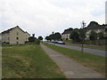
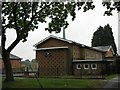
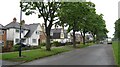
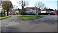
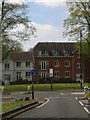

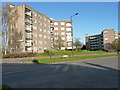
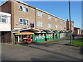
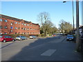
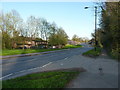
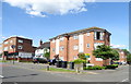
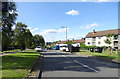
21 photos from this area
Area Information
Key information about the B14 4AW including its size, population, and administrative classification.
- Area Type
- Postcode
- Area Size
- 8469 m²
- Population
- Not available
- Population Density
- Not available
House Prices in B14 4AW
20
Properties
£198,200
Average Sold Price
£78,500
Lowest Price
£280,000
Highest Price
Showing 20 properties
| Address | Type | Beds | Baths | Last Sale Price | Last Sale Date | |
|---|---|---|---|---|---|---|
| 227 May Lane, Birmingham, B14 4AW | Terraced | 3 | 1 | £270,000 | Jun 2025 | |
| 215 May Lane, Birmingham, B14 4AW | house | 3 | 1 | £262,000 | Nov 2022 | |
| 233 May Lane, Birmingham, B14 4AW | Terraced | 3 | 1 | £220,000 | Jul 2022 | |
| 207 May Lane, Birmingham, B14 4AW | house | - | - | £230,000 | May 2021 | |
| 201 May Lane, Birmingham, B14 4AW | Semi-detached | 3 | 1 | £280,000 | May 2019 | |
| 211 May Lane, Birmingham, B14 4AW | Terraced | 3 | 1 | £226,500 | Nov 2018 | |
| 197 May Lane, Birmingham, B14 4AW | house | 3 | - | £200,000 | May 2013 | |
| 221 May Lane, Birmingham, B14 4AW | Terraced | 3 | 1 | £122,000 | Nov 2003 | |
| 231 May Lane, Birmingham, B14 4AW | Terraced | - | - | £78,500 | Sep 2001 | |
| 195 May Lane, Birmingham, B14 4AW | Semi-detached | 4 | 2 | £93,000 | Sep 1999 |
Page 1 of 2
Energy Efficiency in B14 4AW
Amenities
Schools
| Rank | School | Type | Entry gender | Ages |
|---|
Explore more schools in this area
Go to Schools tabDemographics
Household Size
Family (3-5 people)
most common
Accommodation Type
Houses
most common
Tenure
73
majority
Ethnic Group
White
most common
Religion
N/A
most common
Household Composition
N/A
most common
Age
47
median
Adults (30-64 years)
most common
Household Deprivation
N/A
with no deprivation
NS-SEC
38
in Lower managerial occupations
Explore more demographic insights in this area
Go to Demographics tabPlanning
Planning Constraints
- Flood RiskPremium
- Ramsar Wetland SitesPremium
- Area of Outstanding Natural BeautyPremium
- Protected Nature ReservePremium
- Protected WoodlandPremium