Area Overview for B13 9TG
Photos of B13 9TG
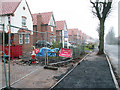
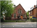
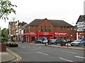
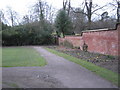
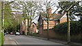
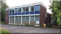
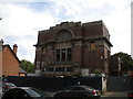
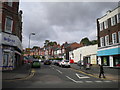
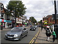
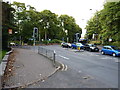
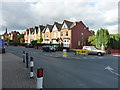
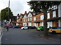
80 photos from this area
Area Information
Key information about the B13 9TG including its size, population, and administrative classification.
- Area Type
- Postcode
- Area Size
- 2.0 hectares
- Population
- 1490
- Population Density
- 4631 people/km²
House Prices in B13 9TG
52
Properties
£193,321
Average Sold Price
£49,000
Lowest Price
£296,970
Highest Price
Showing 52 properties
| Address | Type | Beds | Baths | Last Sale Price | Last Sale Date | |
|---|---|---|---|---|---|---|
| 28 Paton Grove, Birmingham, B13 9TG | Terraced | 2 | 1 | £268,000 | Dec 2025 | |
| 26 Paton Grove, Birmingham, B13 9TG | house | - | - | £250,000 | Mar 2025 | |
| 58 Paton Grove, Birmingham, B13 9TG | Terraced | 2 | 1 | £271,000 | Dec 2023 | |
| 39 Paton Grove, Birmingham, B13 9TG | house | - | - | £275,000 | Nov 2023 | |
| 60 Paton Grove, Birmingham, B13 9TG | Semi-detached | 2 | 1 | £271,000 | Apr 2023 | |
| 37 Paton Grove, Birmingham, B13 9TG | Semi-detached | 2 | 2 | £296,970 | Apr 2023 | |
| 53 Paton Grove, Birmingham, B13 9TG | house | 2 | 1 | £280,000 | Aug 2021 | |
| 63 Paton Grove, Birmingham, B13 9TG | Terraced | 2 | 1 | £285,000 | Feb 2021 | |
| 55 Paton Grove, Birmingham, B13 9TG | Terraced | 3 | 1 | £280,000 | Jan 2020 | |
| 30 Paton Grove, Birmingham, B13 9TG | Semi-detached | 2 | 1 | £260,000 | Jan 2020 |
Page 1 of 6
Energy Efficiency in B13 9TG
Amenities
Schools
| Rank | School | Type | Entry gender | Ages |
|---|
Explore more schools in this area
Go to Schools tabDemographics
Household Size
One person
most common
Accommodation Type
Houses
most common
Tenure
62
majority
Ethnic Group
White
most common
Religion
N/A
most common
Household Composition
N/A
most common
Age
47
median
Adults (30-64 years)
most common
Household Deprivation
N/A
with no deprivation
NS-SEC
54
in Lower managerial occupations
Explore more demographic insights in this area
Go to Demographics tabPlanning
Planning Constraints
- Flood RiskPremium
- Ramsar Wetland SitesPremium
- Area of Outstanding Natural BeautyPremium
- Protected Nature ReservePremium
- Protected WoodlandPremium