Area Overview for B13 9LT
Photos of B13 9LT
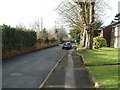
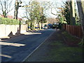
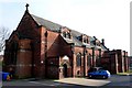
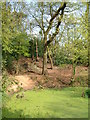
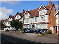
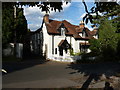
57 photos from this area
Area Information
Key information about the B13 9LT including its size, population, and administrative classification.
- Area Type
- Postcode
- Area Size
- 1.9 hectares
- Population
- 2047
- Population Density
- 4952 people/km²
House Prices in B13 9LT
50
Properties
£119,132
Average Sold Price
£25,500
Lowest Price
£180,000
Highest Price
Showing 50 properties
| Address | Type | Beds | Baths | Last Sale Price | Last Sale Date | |
|---|---|---|---|---|---|---|
| 148 Tenby Road, Birmingham, B13 9LT | house | 2 | 1 | £35,000 | Jul 2025 | |
| 140 Tenby Road, Birmingham, B13 9LT | house | - | - | £140,000 | May 2023 | |
| 144 Tenby Road, Birmingham, B13 9LT | Terraced | 2 | 1 | £100,000 | Dec 2022 | |
| 130 Tenby Road, Birmingham, B13 9LT | Terraced | 3 | 1 | £178,000 | Sep 2022 | |
| 146 Tenby Road, Birmingham, B13 9LT | Terraced | 3 | - | £89,000 | May 2021 | |
| 91 Tenby Road, Birmingham, B13 9LT | house | - | - | £177,500 | Mar 2021 | |
| 95 Tenby Road, Birmingham, B13 9LT | house | 3 | - | £180,000 | Sep 2020 | |
| 136 Tenby Road, Birmingham, B13 9LT | Terraced | 3 | 1 | £142,000 | Jun 2020 | |
| 142 Tenby Road, Birmingham, B13 9LT | Terraced | 2 | 1 | £152,000 | Dec 2019 | |
| 109 Tenby Road, Birmingham, B13 9LT | house | 3 | 1 | £180,000 | May 2019 |
Page 1 of 5
Energy Efficiency in B13 9LT
Amenities
Schools
| Rank | School | Type | Entry gender | Ages |
|---|
Explore more schools in this area
Go to Schools tabDemographics
Household Size
Family (3-5 people)
most common
Accommodation Type
Houses
most common
Tenure
72
majority
Ethnic Group
asian_total
most common
Religion
N/A
most common
Household Composition
N/A
most common
Age
47
median
Adults (30-64 years)
most common
Household Deprivation
N/A
with no deprivation
NS-SEC
24
in Lower managerial occupations
Explore more demographic insights in this area
Go to Demographics tabPlanning
Planning Constraints
- Flood RiskPremium
- Ramsar Wetland SitesPremium
- Area of Outstanding Natural BeautyPremium
- Protected Nature ReservePremium
- Protected WoodlandPremium