Area Overview for B13 9DL
Photos of B13 9DL
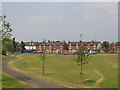
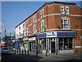
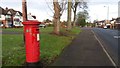
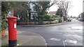
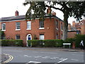
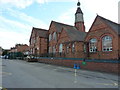
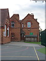
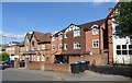
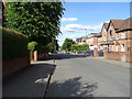
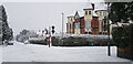
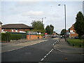
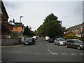
37 photos from this area
Area Information
Key information about the B13 9DL including its size, population, and administrative classification.
- Area Type
- Postcode
- Area Size
- 1.9 hectares
- Population
- 1188
- Population Density
- 5665 people/km²
House Prices in B13 9DL
59
Properties
£474,041
Average Sold Price
£239,950
Lowest Price
£820,000
Highest Price
Showing 59 properties
| Address | Type | Beds | Baths | Last Sale Price | Last Sale Date | |
|---|---|---|---|---|---|---|
| 19 Forest Road, Moseley And Kings Heath, Birmingham, B13 9DL | Semi-detached | 6 | 2 | £820,000 | Nov 2022 | |
| 5 Forest Road, Moseley And Kings Heath, Birmingham, B13 9DL | house | - | - | £385,000 | Jul 2021 | |
| 16 Forest Road, Moseley And Kings Heath, Birmingham, B13 9DL | Detached | 4 | 1 | £430,000 | Dec 2019 | |
| 4 Forest Road, Moseley And Kings Heath, Birmingham, B13 9DL | house | - | - | £555,000 | Nov 2017 | |
| 19A Forest Road, Moseley And Kings Heath, Birmingham, B13 9DL | Detached | 3 | - | £505,000 | Sep 2017 | |
| 3 Forest Road, Moseley And Kings Heath, Birmingham, B13 9DL | Detached | 3 | 2 | £306,500 | Jul 2015 | |
| 12 Forest Road, Moseley And Kings Heath, Birmingham, B13 9DL | Flat | - | - | £500,000 | Nov 2012 | |
| 2 Forest Road, Moseley And Kings Heath, Birmingham, B13 9DL | Flat | - | - | £560,000 | Jul 2008 | |
| 14 Forest Road, Moseley And Kings Heath, Birmingham, B13 9DL | Detached | 4 | 2 | £338,000 | Dec 2006 | |
| 6 Forest Road, Moseley And Kings Heath, Birmingham, B13 9DL | Detached | - | - | £575,000 | Sep 2006 |
Page 1 of 6
Energy Efficiency in B13 9DL
Amenities
Schools
| Rank | School | Type | Entry gender | Ages |
|---|
Explore more schools in this area
Go to Schools tabDemographics
Household Size
One person
most common
Accommodation Type
Flats
most common
Tenure
41
majority
Ethnic Group
White
most common
Religion
N/A
most common
Household Composition
N/A
most common
Age
47
median
Adults (30-64 years)
most common
Household Deprivation
N/A
with no deprivation
NS-SEC
40
in Lower managerial occupations
Explore more demographic insights in this area
Go to Demographics tabPlanning
Planning Constraints
- Flood RiskPremium
- Ramsar Wetland SitesPremium
- Area of Outstanding Natural BeautyPremium
- Protected Nature ReservePremium
- Protected WoodlandPremium