Area Overview for B13 8NE
Photos of B13 8NE
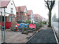
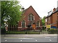
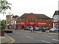
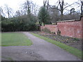
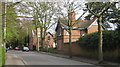
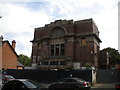
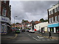
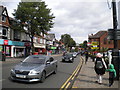
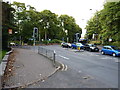
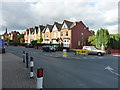
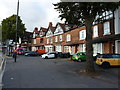
80 photos from this area
Area Information
Key information about the B13 8NE including its size, population, and administrative classification.
- Area Type
- Postcode
- Area Size
- 2.8 hectares
- Population
- 1659
- Population Density
- 2286 people/km²
House Prices in B13 8NE
38
Properties
£431,333
Average Sold Price
£72,000
Lowest Price
£800,000
Highest Price
Showing 38 properties
| Address | Type | Beds | Baths | Last Sale Price | Last Sale Date | |
|---|---|---|---|---|---|---|
| 61 Moor Green Lane, Birmingham, B13 8NE | Detached | 3 | 2 | £580,000 | Mar 2025 | |
| 45 Moor Green Lane, Birmingham, B13 8NE | Detached | 5 | 1 | £750,000 | Dec 2024 | |
| 39 Moor Green Lane, Birmingham, B13 8NE | house | - | - | £500,000 | Feb 2024 | |
| 3 Moor Green Lane, Birmingham, B13 8NE | Semi-detached | 3 | 2 | £742,000 | Mar 2022 | |
| 59 Moor Green Lane, Birmingham, B13 8NE | Bungalow | 3 | - | £780,000 | Jun 2021 | |
| 33 Moor Green Lane, Birmingham, B13 8NE | Detached | 4 | 1 | £690,000 | Feb 2021 | |
| 23 Moor Green Lane, Birmingham, B13 8NE | Semi-detached | 3 | - | £320,000 | Aug 2018 | |
| 31 Moor Green Lane, Birmingham, B13 8NE | house | - | - | £800,000 | Jul 2018 | |
| 25 Moor Green Lane, Birmingham, B13 8NE | Semi-detached | 3 | 1 | £306,000 | Oct 2017 | |
| 55 Moor Green Lane, Birmingham, B13 8NE | Detached | 6 | 2 | £765,000 | Jul 2017 |
Page 1 of 4
Energy Efficiency in B13 8NE
Amenities
Schools
| Rank | School | Type | Entry gender | Ages |
|---|
Explore more schools in this area
Go to Schools tabDemographics
Household Size
Family (3-5 people)
most common
Accommodation Type
Houses
most common
Tenure
77
majority
Ethnic Group
asian_total
most common
Religion
N/A
most common
Household Composition
N/A
most common
Age
47
median
Adults (30-64 years)
most common
Household Deprivation
N/A
with no deprivation
NS-SEC
54
in Lower managerial occupations
Explore more demographic insights in this area
Go to Demographics tabPlanning
Planning Constraints
- Flood RiskPremium
- Ramsar Wetland SitesPremium
- Area of Outstanding Natural BeautyPremium
- Protected Nature ReservePremium
- Protected WoodlandPremium