Area Overview for B13 8LW
Photos of B13 8LW
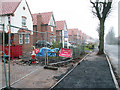
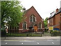
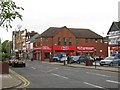
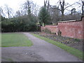
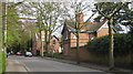
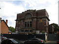
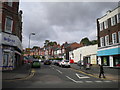
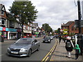
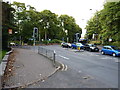
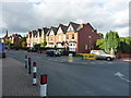
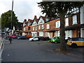
80 photos from this area
Area Information
Key information about the B13 8LW including its size, population, and administrative classification.
- Area Type
- Postcode
- Area Size
- 1.6 hectares
- Population
- 1659
- Population Density
- 2286 people/km²
House Prices in B13 8LW
26
Properties
£444,182
Average Sold Price
£165,000
Lowest Price
£1,000,000
Highest Price
Showing 26 properties
| Address | Type | Beds | Baths | Last Sale Price | Last Sale Date | |
|---|---|---|---|---|---|---|
| 43 Reddings Road, Birmingham, B13 8LW | Semi-detached | 5 | 2 | £1,000,000 | Jan 2024 | |
| 27 Reddings Road, Birmingham, B13 8LW | Semi-detached | 4 | 2 | £600,000 | May 2021 | |
| 11 Reddings Road, Birmingham, B13 8LW | Semi-detached | 4 | 1 | £405,000 | Sep 2016 | |
| 5 Reddings Road, Birmingham, B13 8LW | Detached | 4 | 1 | £450,000 | May 2016 | |
| 31 Reddings Road, Birmingham, B13 8LW | Semi-detached | 4 | - | £400,000 | Aug 2015 | |
| 51 Reddings Road, Birmingham, B13 8LW | Detached | 6 | 3 | £625,000 | Aug 2013 | |
| 9 Reddings Road, Birmingham, B13 8LW | Detached | 4 | 1 | £540,000 | Feb 2013 | |
| 25 Reddings Road, Birmingham, B13 8LW | Semi-detached | 4 | 2 | £370,000 | Sep 2012 | |
| 35 Reddings Road, Birmingham, B13 8LW | house | 6 | - | £496,995 | Oct 2011 | |
| 53 Reddings Road, Birmingham, B13 8LW | house | - | - | £625,000 | Sep 2011 |
Page 1 of 3
Energy Efficiency in B13 8LW
Amenities
Schools
| Rank | School | Type | Entry gender | Ages |
|---|
Explore more schools in this area
Go to Schools tabDemographics
Household Size
Family (3-5 people)
most common
Accommodation Type
Houses
most common
Tenure
77
majority
Ethnic Group
asian_total
most common
Religion
N/A
most common
Household Composition
N/A
most common
Age
47
median
Adults (30-64 years)
most common
Household Deprivation
N/A
with no deprivation
NS-SEC
54
in Lower managerial occupations
Explore more demographic insights in this area
Go to Demographics tabPlanning
Planning Constraints
- Flood RiskPremium
- Ramsar Wetland SitesPremium
- Area of Outstanding Natural BeautyPremium
- Protected Nature ReservePremium
- Protected WoodlandPremium