Area Overview for B13 0UP
Photos of B13 0UP
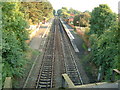
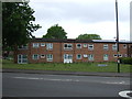
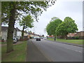
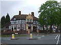
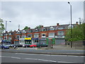
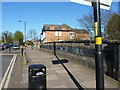
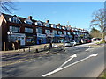
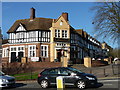
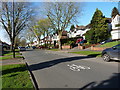
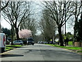
35 photos from this area
Area Information
Key information about the B13 0UP including its size, population, and administrative classification.
- Area Type
- Postcode
- Area Size
- 1.4 hectares
- Population
- 1604
- Population Density
- 4603 people/km²
House Prices in B13 0UP
47
Properties
£124,279
Average Sold Price
£66,000
Lowest Price
£235,000
Highest Price
Showing 47 properties
| Address | Type | Beds | Baths | Last Sale Price | Last Sale Date | |
|---|---|---|---|---|---|---|
| 29 Braceby Avenue, Birmingham, B13 0UP | Terraced | 4 | 1 | £235,000 | Nov 2023 | |
| 51 Braceby Avenue, Birmingham, B13 0UP | Flat | 1 | 1 | £92,000 | Jul 2022 | |
| 65 Braceby Avenue, Birmingham, B13 0UP | Flat | 1 | 1 | £110,000 | May 2022 | |
| 15 Braceby Avenue, Birmingham, B13 0UP | house | 3 | 1 | £157,000 | Jan 2018 | |
| 19 Braceby Avenue, Birmingham, B13 0UP | Terraced | 2 | 1 | £135,000 | Nov 2017 | |
| 21 Braceby Avenue, Birmingham, B13 0UP | Terraced | 3 | 1 | £140,000 | Nov 2016 | |
| 9 Braceby Avenue, Birmingham, B13 0UP | Terraced | 3 | - | £119,950 | Sep 2014 | |
| 81 Braceby Avenue, Birmingham, B13 0UP | house | - | - | £111,000 | Jan 2013 | |
| 79 Braceby Avenue, Birmingham, B13 0UP | Flat | - | - | £66,000 | Nov 2012 | |
| 31 Braceby Avenue, Birmingham, B13 0UP | house | - | - | £140,000 | Dec 2010 |
Page 1 of 5
Energy Efficiency in B13 0UP
Amenities
Schools
| Rank | School | Type | Entry gender | Ages |
|---|
Explore more schools in this area
Go to Schools tabDemographics
Household Size
Family (3-5 people)
most common
Accommodation Type
Houses
most common
Tenure
50
majority
Ethnic Group
White
most common
Religion
N/A
most common
Household Composition
N/A
most common
Age
47
median
Adults (30-64 years)
most common
Household Deprivation
N/A
with no deprivation
NS-SEC
23
in Lower managerial occupations
Explore more demographic insights in this area
Go to Demographics tabPlanning
Planning Constraints
- Flood RiskPremium
- Ramsar Wetland SitesPremium
- Area of Outstanding Natural BeautyPremium
- Protected Nature ReservePremium
- Protected WoodlandPremium