Area Overview for B13 0DU
Photos of B13 0DU
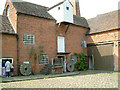
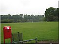
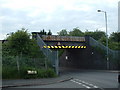
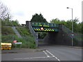
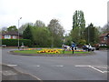
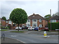
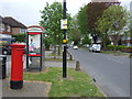
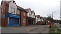
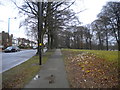
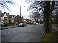
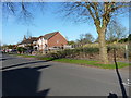
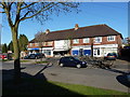
79 photos from this area
Area Information
Key information about the B13 0DU including its size, population, and administrative classification.
- Area Type
- Postcode
- Area Size
- 1.4 hectares
- Population
- 1505
- Population Density
- 5766 people/km²
House Prices in B13 0DU
32
Properties
£226,108
Average Sold Price
£61,500
Lowest Price
£378,000
Highest Price
Showing 32 properties
| Address | Type | Beds | Baths | Last Sale Price | Last Sale Date | |
|---|---|---|---|---|---|---|
| 25 Westridge Road, Birmingham, B13 0DU | Semi-detached | 3 | 1 | £375,000 | May 2025 | |
| 67 Westridge Road, Birmingham, B13 0DU | Semi-detached | 3 | 2 | £350,000 | Aug 2024 | |
| 65 Westridge Road, Birmingham, B13 0DU | Semi-detached | 4 | 2 | £346,000 | May 2023 | |
| 39 Westridge Road, Birmingham, B13 0DU | Semi-detached | 1 | 2 | £311,500 | Aug 2021 | |
| 29 Westridge Road, Birmingham, B13 0DU | Semi-detached | 3 | 1 | £289,000 | Sep 2020 | |
| 55 Westridge Road, Birmingham, B13 0DU | Semi-detached | 3 | 1 | £269,000 | Aug 2020 | |
| 21 Westridge Road, Birmingham, B13 0DU | Semi-detached | 3 | 1 | £262,000 | Aug 2019 | |
| 49 Westridge Road, Birmingham, B13 0DU | Semi-detached | 3 | 1 | £256,000 | Oct 2018 | |
| 43 Westridge Road, Birmingham, B13 0DU | Semi-detached | 4 | 2 | £378,000 | Aug 2018 | |
| 63 Westridge Road, Birmingham, B13 0DU | house | 3 | 1 | £225,000 | Aug 2016 |
Page 1 of 4
Energy Efficiency in B13 0DU
Amenities
Schools
| Rank | School | Type | Entry gender | Ages |
|---|
Explore more schools in this area
Go to Schools tabDemographics
Household Size
Family (3-5 people)
most common
Accommodation Type
Houses
most common
Tenure
75
majority
Ethnic Group
asian_total
most common
Religion
N/A
most common
Household Composition
N/A
most common
Age
47
median
Adults (30-64 years)
most common
Household Deprivation
N/A
with no deprivation
NS-SEC
39
in Lower managerial occupations
Explore more demographic insights in this area
Go to Demographics tabPlanning
Planning Constraints
- Flood RiskPremium
- Ramsar Wetland SitesPremium
- Area of Outstanding Natural BeautyPremium
- Protected Nature ReservePremium
- Protected WoodlandPremium