Area Overview for B13 0NE
Photos of B13 0NE
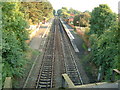
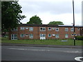
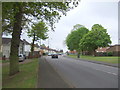
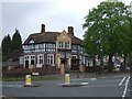
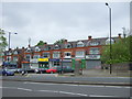
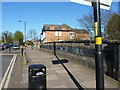
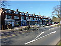
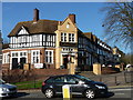
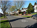
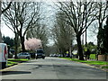
35 photos from this area
Area Information
Key information about the B13 0NE including its size, population, and administrative classification.
- Area Type
- Postcode
- Area Size
- 1.1 hectares
- Population
- 1604
- Population Density
- 4603 people/km²
House Prices in B13 0NE
34
Properties
£138,318
Average Sold Price
£56,000
Lowest Price
£225,000
Highest Price
Showing 34 properties
| Address | Type | Beds | Baths | Last Sale Price | Last Sale Date | |
|---|---|---|---|---|---|---|
| 244 Chinn Brook Road, Birmingham, B13 0NE | Terraced | 3 | 1 | £225,000 | Oct 2024 | |
| 252 Chinn Brook Road, Birmingham, B13 0NE | Terraced | 3 | 1 | £180,000 | Feb 2024 | |
| 204 Chinn Brook Road, Birmingham, B13 0NE | Terraced | 2 | 1 | £195,000 | Mar 2022 | |
| 220 Chinn Brook Road, Birmingham, B13 0NE | Terraced | 3 | 1 | £141,000 | Sep 2019 | |
| 200 Chinn Brook Road, Birmingham, B13 0NE | house | 3 | - | £142,500 | Oct 2016 | |
| 198 Chinn Brook Road, Birmingham, B13 0NE | Terraced | 3 | - | £107,000 | Mar 2016 | |
| 216 Chinn Brook Road, Birmingham, B13 0NE | Terraced | 3 | 1 | £165,000 | Feb 2016 | |
| 210 Chinn Brook Road, Birmingham, B13 0NE | Terraced | - | - | £125,000 | Aug 2008 | |
| 212 Chinn Brook Road, Birmingham, B13 0NE | house | - | - | £125,000 | Sep 2007 | |
| 240 Chinn Brook Road, Birmingham, B13 0NE | house | 3 | - | £60,000 | Aug 2002 |
Page 1 of 4
Energy Efficiency in B13 0NE
Amenities
Schools
| Rank | School | Type | Entry gender | Ages |
|---|
Explore more schools in this area
Go to Schools tabDemographics
Household Size
Family (3-5 people)
most common
Accommodation Type
Houses
most common
Tenure
50
majority
Ethnic Group
White
most common
Religion
N/A
most common
Household Composition
N/A
most common
Age
47
median
Adults (30-64 years)
most common
Household Deprivation
N/A
with no deprivation
NS-SEC
23
in Lower managerial occupations
Explore more demographic insights in this area
Go to Demographics tabPlanning
Planning Constraints
- Flood RiskPremium
- Ramsar Wetland SitesPremium
- Area of Outstanding Natural BeautyPremium
- Protected Nature ReservePremium
- Protected WoodlandPremium