Area Overview for B13 0NN
Photos of B13 0NN
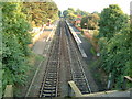
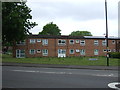
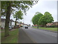
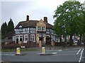
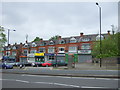
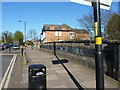
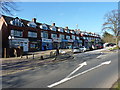
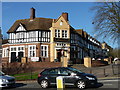
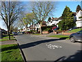
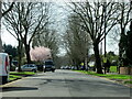
35 photos from this area
Area Information
Key information about the B13 0NN including its size, population, and administrative classification.
- Area Type
- Postcode
- Area Size
- 7766 m²
- Population
- 1692
- Population Density
- 7896 people/km²
House Prices in B13 0NN
24
Properties
£126,300
Average Sold Price
£73,000
Lowest Price
£210,000
Highest Price
Showing 24 properties
| Address | Type | Beds | Baths | Last Sale Price | Last Sale Date | |
|---|---|---|---|---|---|---|
| 131 Beauchamp Road, Birmingham, B13 0NN | Terraced | 3 | 1 | £210,000 | Aug 2022 | |
| 149 Beauchamp Road, Birmingham, B13 0NN | Terraced | 2 | 1 | £143,000 | Aug 2020 | |
| 115 Beauchamp Road, Birmingham, B13 0NN | Terraced | 3 | 1 | £155,000 | Feb 2020 | |
| 123 Beauchamp Road, Birmingham, B13 0NN | Terraced | 3 | 1 | £152,500 | Jul 2017 | |
| 107 Beauchamp Road, Birmingham, B13 0NN | Terraced | 3 | 1 | £125,000 | Nov 2015 | |
| 139 Beauchamp Road, Birmingham, B13 0NN | Terraced | - | - | £114,000 | Mar 2007 | |
| 127 Beauchamp Road, Birmingham, B13 0NN | Terraced | - | - | £95,000 | Jan 2006 | |
| 105 Beauchamp Road, Birmingham, B13 0NN | house | - | - | £115,000 | Aug 2005 | |
| 137 Beauchamp Road, Birmingham, B13 0NN | Semi-detached | 2 | 1 | £73,000 | Nov 2004 | |
| 125 Beauchamp Road, Birmingham, B13 0NN | house | - | - | £80,500 | May 2003 |
Page 1 of 3
Energy Efficiency in B13 0NN
Amenities
Schools
| Rank | School | Type | Entry gender | Ages |
|---|
Explore more schools in this area
Go to Schools tabDemographics
Household Size
Family (3-5 people)
most common
Accommodation Type
Houses
most common
Tenure
60
majority
Ethnic Group
White
most common
Religion
N/A
most common
Household Composition
N/A
most common
Age
47
median
Adults (30-64 years)
most common
Household Deprivation
N/A
with no deprivation
NS-SEC
18
in Lower managerial occupations
Explore more demographic insights in this area
Go to Demographics tabPlanning
Planning Constraints
- Flood RiskPremium
- Ramsar Wetland SitesPremium
- Area of Outstanding Natural BeautyPremium
- Protected Nature ReservePremium
- Protected WoodlandPremium