Area Overview for B13 0LG
Photos of B13 0LG
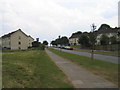
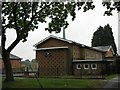
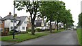
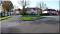
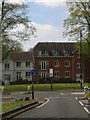
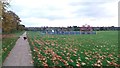
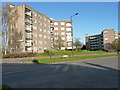
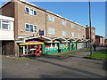
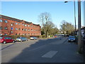
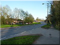
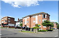
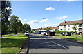
21 photos from this area
Area Information
Key information about the B13 0LG including its size, population, and administrative classification.
- Area Type
- Postcode
- Area Size
- 8422 m²
- Population
- 1692
- Population Density
- 7896 people/km²
House Prices in B13 0LG
24
Properties
£165,854
Average Sold Price
£94,500
Lowest Price
£346,895
Highest Price
Showing 24 properties
| Address | Type | Beds | Baths | Last Sale Price | Last Sale Date | |
|---|---|---|---|---|---|---|
| 25 Bromwall Road, Birmingham, B13 0LG | Terraced | 3 | 1 | £220,000 | Aug 2025 | |
| 33 Bromwall Road, Birmingham, B13 0LG | Semi-detached | 5 | 2 | £346,895 | Nov 2024 | |
| 17 Bromwall Road, Birmingham, B13 0LG | house | - | - | £171,000 | Feb 2021 | |
| 35 Bromwall Road, Birmingham, B13 0LG | house | - | - | £208,000 | Apr 2019 | |
| 45 Bromwall Road, Birmingham, B13 0LG | Semi-detached | 3 | 1 | £197,000 | Jan 2018 | |
| 55 Bromwall Road, Birmingham, B13 0LG | house | 3 | - | £155,000 | Aug 2016 | |
| 39 Bromwall Road, Birmingham, B13 0LG | Terraced | 3 | - | £97,000 | Apr 2011 | |
| 53 Bromwall Road, Birmingham, B13 0LG | house | - | - | £98,000 | Jul 2009 | |
| 15 Bromwall Road, Birmingham, B13 0LG | Terraced | - | - | £122,000 | Nov 2007 | |
| 43 Bromwall Road, Birmingham, B13 0LG | Semi-detached | 2 | 1 | £115,000 | Sep 2005 |
Page 1 of 3
Energy Efficiency in B13 0LG
Amenities
Schools
| Rank | School | Type | Entry gender | Ages |
|---|
Explore more schools in this area
Go to Schools tabDemographics
Household Size
Family (3-5 people)
most common
Accommodation Type
Houses
most common
Tenure
60
majority
Ethnic Group
White
most common
Religion
N/A
most common
Household Composition
N/A
most common
Age
47
median
Adults (30-64 years)
most common
Household Deprivation
N/A
with no deprivation
NS-SEC
18
in Lower managerial occupations
Explore more demographic insights in this area
Go to Demographics tabPlanning
Planning Constraints
- Flood RiskPremium
- Ramsar Wetland SitesPremium
- Area of Outstanding Natural BeautyPremium
- Protected Nature ReservePremium
- Protected WoodlandPremium