Area Overview for B13 0JN
Photos of B13 0JN
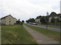
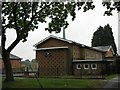
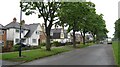
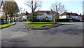
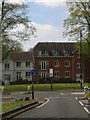
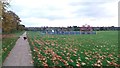
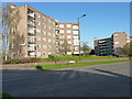
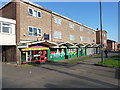
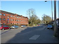
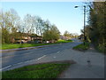
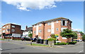
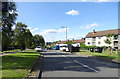
21 photos from this area
Area Information
Key information about the B13 0JN including its size, population, and administrative classification.
- Area Type
- Postcode
- Area Size
- 6914 m²
- Population
- 1771
- Population Density
- 3164 people/km²
House Prices in B13 0JN
25
Properties
£112,271
Average Sold Price
£40,000
Lowest Price
£200,000
Highest Price
Showing 25 properties
| Address | Type | Beds | Baths | Last Sale Price | Last Sale Date | |
|---|---|---|---|---|---|---|
| 90 Colemeadow Road, Birmingham, B13 0JN | house | - | - | £200,000 | Jul 2025 | |
| 68 Colemeadow Road, Birmingham, B13 0JN | house | - | - | £200,000 | Apr 2021 | |
| 84 Colemeadow Road, Birmingham, B13 0JN | house | - | - | £185,000 | Mar 2021 | |
| 100 Colemeadow Road, Birmingham, B13 0JN | house | - | - | £142,000 | Oct 2017 | |
| 70 Colemeadow Road, Birmingham, B13 0JN | Terraced | 3 | 1 | £123,750 | May 2014 | |
| 66 Colemeadow Road, Birmingham, B13 0JN | house | 3 | - | £110,000 | Jul 2012 | |
| 80 Colemeadow Road, Birmingham, B13 0JN | Terraced | - | - | £125,000 | Jun 2008 | |
| 102 Colemeadow Road, Birmingham, B13 0JN | house | - | - | £79,000 | Dec 2002 | |
| 94 Colemeadow Road, Birmingham, B13 0JN | Terraced | - | - | £44,000 | Jul 2000 | |
| 78 Colemeadow Road, Birmingham, B13 0JN | house | - | - | £50,000 | May 1999 |
Page 1 of 3
Energy Efficiency in B13 0JN
Amenities
Schools
| Rank | School | Type | Entry gender | Ages |
|---|
Explore more schools in this area
Go to Schools tabDemographics
Household Size
Family (3-5 people)
most common
Accommodation Type
Houses
most common
Tenure
41
majority
Ethnic Group
White
most common
Religion
N/A
most common
Household Composition
N/A
most common
Age
47
median
Adults (30-64 years)
most common
Household Deprivation
N/A
with no deprivation
NS-SEC
19
in Lower managerial occupations
Explore more demographic insights in this area
Go to Demographics tabPlanning
Planning Constraints
- Flood RiskPremium
- Ramsar Wetland SitesPremium
- Area of Outstanding Natural BeautyPremium
- Protected Nature ReservePremium
- Protected WoodlandPremium