Area Overview for B12 8ED
Photos of B12 8ED
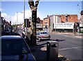
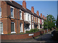
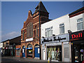
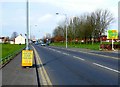
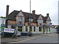
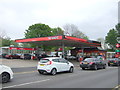
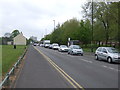
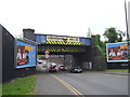
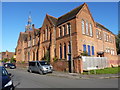
63 photos from this area
Area Information
Key information about the B12 8ED including its size, population, and administrative classification.
- Area Type
- Postcode
- Area Size
- 3643 m²
- Population
- 1947
- Population Density
- 8102 people/km²
House Prices in B12 8ED
15
Properties
-
Average Sold Price
-
Lowest Price
-
Highest Price
Showing 15 properties
| Address | Type | Beds | Baths | Last Sale Price | Last Sale Date | |
|---|---|---|---|---|---|---|
| Flat Over, Queens Arms, 278 Highgate Road, Birmingham, B12 8ED | Flat | - | - | - | - | |
| Royal Steak 'n' Karahi, 280-282 Highgate Road, Birmingham, B12 8ED | restaurant_cafe | - | - | - | - | |
| 302 Highgate Road, Birmingham, B12 8ED | house | - | - | - | - | |
| 300 Highgate Road, Birmingham, B12 8ED | Semi-detached | - | - | - | - | |
| Flat Over, 310 Highgate Road, Birmingham, B12 8ED | Flat | - | - | - | - | |
| Yaqubs, 316 Highgate Road, Birmingham, B12 8ED | restaurant_cafe | - | - | - | - | |
| 306 Highgate Road, Birmingham, B12 8ED | house | - | - | - | - | |
| 308 Highgate Road, Birmingham, B12 8ED | house | - | - | - | - | |
| 304 Highgate Road, Birmingham, B12 8ED | house | - | - | - | - | |
| 292 Highgate Road, Birmingham, B12 8ED | house | - | - | - | - |
Page 1 of 2
Energy Efficiency in B12 8ED
Amenities
Schools
| Rank | School | Type | Entry gender | Ages |
|---|
Explore more schools in this area
Go to Schools tabDemographics
Household Size
Family (3-5 people)
most common
Accommodation Type
Houses
most common
Tenure
45
majority
Ethnic Group
asian_total
most common
Religion
N/A
most common
Household Composition
N/A
most common
Age
22
median
Adults (30-64 years)
most common
Household Deprivation
N/A
with no deprivation
NS-SEC
10
in Lower managerial occupations
Explore more demographic insights in this area
Go to Demographics tabPlanning
Planning Constraints
- Flood RiskPremium
- Ramsar Wetland SitesPremium
- Area of Outstanding Natural BeautyPremium
- Protected Nature ReservePremium
- Protected WoodlandPremium