Area Overview for B11 3RR
Photos of B11 3RR
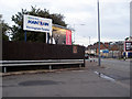
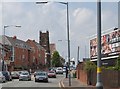
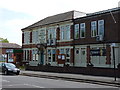
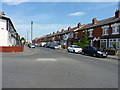
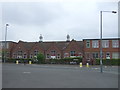
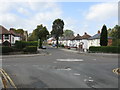
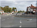
18 photos from this area
Area Information
Key information about the B11 3RR including its size, population, and administrative classification.
- Area Type
- Postcode
- Area Size
- 1.8 hectares
- Population
- 2148
- Population Density
- 5062 people/km²
House Prices in B11 3RR
17
Properties
£115,014
Average Sold Price
£31,000
Lowest Price
£196,000
Highest Price
Showing 17 properties
| Address | Type | Beds | Baths | Last Sale Price | Last Sale Date | |
|---|---|---|---|---|---|---|
| 149 Weston Lane, Birmingham, B11 3RR | Land | 2 | 1 | £165,000 | Dec 2025 | |
| 141 Weston Lane, Birmingham, B11 3RR | house | 3 | 2 | £196,000 | Mar 2024 | |
| 157 Weston Lane, Birmingham, B11 3RR | Terraced | 3 | 1 | £52,650 | Aug 2023 | |
| 151 Weston Lane, Birmingham, B11 3RR | Terraced | 3 | 1 | £165,000 | Apr 2022 | |
| 139 Weston Lane, Birmingham, B11 3RR | house | - | - | £170,000 | Jan 2021 | |
| 155 Weston Lane, Birmingham, B11 3RR | Terraced | 3 | 1 | £108,000 | Sep 2016 | |
| 163 Weston Lane, Birmingham, B11 3RR | Terraced | 3 | - | £74,000 | Jul 2012 | |
| 153 Weston Lane, Birmingham, B11 3RR | house | - | - | £115,000 | Jan 2007 | |
| 137 Weston Lane, Birmingham, B11 3RR | house | - | - | £124,500 | Aug 2004 | |
| 147 Weston Lane, Birmingham, B11 3RR | house | - | - | £64,000 | Mar 2002 |
Page 1 of 2
Energy Efficiency in B11 3RR
Amenities
Schools
| Rank | School | Type | Entry gender | Ages |
|---|
Explore more schools in this area
Go to Schools tabDemographics
Household Size
Family (3-5 people)
most common
Accommodation Type
Houses
most common
Tenure
66
majority
Ethnic Group
asian_total
most common
Religion
N/A
most common
Household Composition
N/A
most common
Age
22
median
Adults (30-64 years)
most common
Household Deprivation
N/A
with no deprivation
NS-SEC
15
in Lower managerial occupations
Explore more demographic insights in this area
Go to Demographics tabPlanning
Planning Constraints
- Flood RiskPremium
- Ramsar Wetland SitesPremium
- Area of Outstanding Natural BeautyPremium
- Protected Nature ReservePremium
- Protected WoodlandPremium