Area Overview for B11 3QA
Photos of B11 3QA
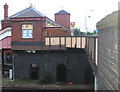
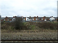
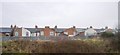
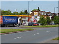
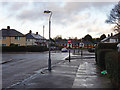
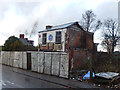
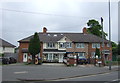
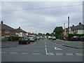
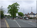
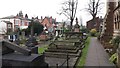
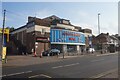
52 photos from this area
Area Information
Key information about the B11 3QA including its size, population, and administrative classification.
- Area Type
- Postcode
- Area Size
- 1.6 hectares
- Population
- 1988
- Population Density
- 6337 people/km²
House Prices in B11 3QA
35
Properties
£85,268
Average Sold Price
£31,500
Lowest Price
£128,000
Highest Price
Showing 35 properties
| Address | Type | Beds | Baths | Last Sale Price | Last Sale Date | |
|---|---|---|---|---|---|---|
| 54 Knights Road, Birmingham, B11 3QA | house | - | - | £128,000 | Sep 2021 | |
| 38 Knights Road, Birmingham, B11 3QA | Terraced | 3 | 1 | £128,000 | Oct 2019 | |
| 56 Knights Road, Birmingham, B11 3QA | Terraced | 3 | 1 | £105,000 | Dec 2018 | |
| 52 Knights Road, Birmingham, B11 3QA | Terraced | 2 | 1 | £83,000 | Mar 2016 | |
| 46 Knights Road, Birmingham, B11 3QA | house | 3 | - | £89,000 | Mar 2012 | |
| 36 Knights Road, Birmingham, B11 3QA | Terraced | 2 | 1 | £95,000 | Jan 2008 | |
| 32 Knights Road, Birmingham, B11 3QA | Terraced | 3 | 1 | £112,000 | Nov 2006 | |
| 62 Knights Road, Birmingham, B11 3QA | house | 3 | 1 | £96,000 | Apr 2004 | |
| 50 Knights Road, Birmingham, B11 3QA | Terraced | - | - | £81,000 | Dec 2003 | |
| 48 Knights Road, Birmingham, B11 3QA | house | - | - | £75,000 | Oct 2003 |
Page 1 of 4
Energy Efficiency in B11 3QA
Amenities
Schools
| Rank | School | Type | Entry gender | Ages |
|---|
Explore more schools in this area
Go to Schools tabDemographics
Household Size
Family (3-5 people)
most common
Accommodation Type
Houses
most common
Tenure
52
majority
Ethnic Group
asian_total
most common
Religion
N/A
most common
Household Composition
N/A
most common
Age
22
median
Adults (30-64 years)
most common
Household Deprivation
N/A
with no deprivation
NS-SEC
16
in Lower managerial occupations
Explore more demographic insights in this area
Go to Demographics tabPlanning
Planning Constraints
- Flood RiskPremium
- Ramsar Wetland SitesPremium
- Area of Outstanding Natural BeautyPremium
- Protected Nature ReservePremium
- Protected WoodlandPremium