Area Overview for B11 2HA
Photos of B11 2HA

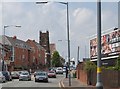

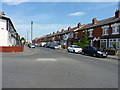
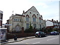
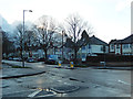
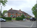
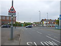

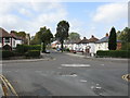
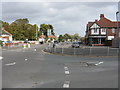
18 photos from this area
Area Information
Key information about the B11 2HA including its size, population, and administrative classification.
- Area Type
- Postcode
- Area Size
- 1.5 hectares
- Population
- 1988
- Population Density
- 6337 people/km²
House Prices in B11 2HA
35
Properties
£91,652
Average Sold Price
£35,000
Lowest Price
£164,000
Highest Price
Showing 35 properties
| Address | Type | Beds | Baths | Last Sale Price | Last Sale Date | |
|---|---|---|---|---|---|---|
| 735 Warwick Road, South Yardley, Birmingham, B11 2HA | Terraced | 2 | 1 | £158,700 | Jul 2024 | |
| 715 Warwick Road, South Yardley, Birmingham, B11 2HA | Terraced | 2 | 1 | £152,000 | Jan 2024 | |
| 727 Warwick Road, South Yardley, Birmingham, B11 2HA | Terraced | 3 | 1 | £164,000 | May 2023 | |
| 753 Warwick Road, South Yardley, Birmingham, B11 2HA | house | - | - | £140,000 | Sep 2022 | |
| 733 Warwick Road, South Yardley, Birmingham, B11 2HA | Terraced | 2 | 1 | £50,000 | Oct 2021 | |
| 729 Warwick Road, South Yardley, Birmingham, B11 2HA | house | 2 | - | £136,000 | Aug 2021 | |
| 713 Warwick Road, South Yardley, Birmingham, B11 2HA | Terraced | 2 | 1 | £113,500 | Jul 2019 | |
| 763 Warwick Road, South Yardley, Birmingham, B11 2HA | house | - | - | £89,000 | Jun 2019 | |
| 717 Warwick Road, South Yardley, Birmingham, B11 2HA | Terraced | 2 | 1 | £110,000 | Dec 2018 | |
| 723 Warwick Road, South Yardley, Birmingham, B11 2HA | Terraced | 2 | 1 | £50,000 | Nov 2018 |
Page 1 of 4
Energy Efficiency in B11 2HA
Amenities
Schools
| Rank | School | Type | Entry gender | Ages |
|---|
Explore more schools in this area
Go to Schools tabDemographics
Household Size
Family (3-5 people)
most common
Accommodation Type
Houses
most common
Tenure
52
majority
Ethnic Group
asian_total
most common
Religion
N/A
most common
Household Composition
N/A
most common
Age
22
median
Adults (30-64 years)
most common
Household Deprivation
N/A
with no deprivation
NS-SEC
16
in Lower managerial occupations
Explore more demographic insights in this area
Go to Demographics tabPlanning
Planning Constraints
- Flood RiskPremium
- Ramsar Wetland SitesPremium
- Area of Outstanding Natural BeautyPremium
- Protected Nature ReservePremium
- Protected WoodlandPremium