Area Overview for B11 3AW
Photos of B11 3AW
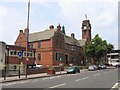
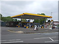
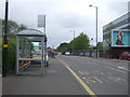
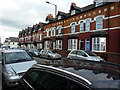
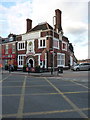

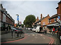
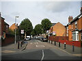
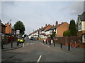
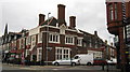
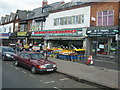
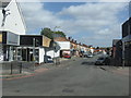
50 photos from this area
Area Information
Key information about the B11 3AW including its size, population, and administrative classification.
- Area Type
- Postcode
- Area Size
- 2.9 hectares
- Population
- 1915
- Population Density
- 12792 people/km²
House Prices in B11 3AW
58
Properties
£103,565
Average Sold Price
£20,500
Lowest Price
£225,000
Highest Price
Showing 58 properties
| Address | Type | Beds | Baths | Last Sale Price | Last Sale Date | |
|---|---|---|---|---|---|---|
| 6 Knowle Road, Birmingham, B11 3AW | Terraced | 2 | 1 | £161,000 | Jan 2025 | |
| 90 Knowle Road, Birmingham, B11 3AW | Terraced | 3 | 2 | £225,000 | Jan 2024 | |
| 10 Knowle Road, Birmingham, B11 3AW | house | - | - | £190,000 | Jul 2023 | |
| 34 Knowle Road, Birmingham, B11 3AW | Terraced | 3 | 1 | £187,500 | Jan 2023 | |
| 78 Knowle Road, Birmingham, B11 3AW | Terraced | - | - | £168,000 | May 2022 | |
| 80 Knowle Road, Birmingham, B11 3AW | house | - | - | £165,000 | Jun 2019 | |
| 98 Knowle Road, Birmingham, B11 3AW | Terraced | 2 | 1 | £126,000 | May 2019 | |
| 52 Knowle Road, Birmingham, B11 3AW | Terraced | 2 | 1 | £118,000 | Apr 2019 | |
| 56 Knowle Road, Birmingham, B11 3AW | Terraced | 2 | 1 | £128,500 | Oct 2018 | |
| 86 Knowle Road, Birmingham, B11 3AW | house | - | - | £175,000 | Aug 2017 |
Page 1 of 6
Energy Efficiency in B11 3AW
Amenities
Schools
| Rank | School | Type | Entry gender | Ages |
|---|
Explore more schools in this area
Go to Schools tabDemographics
Household Size
Family (3-5 people)
most common
Accommodation Type
Houses
most common
Tenure
47
majority
Ethnic Group
asian_total
most common
Religion
N/A
most common
Household Composition
N/A
most common
Age
22
median
Adults (30-64 years)
most common
Household Deprivation
N/A
with no deprivation
NS-SEC
10
in Lower managerial occupations
Explore more demographic insights in this area
Go to Demographics tabPlanning
Planning Constraints
- Flood RiskPremium
- Ramsar Wetland SitesPremium
- Area of Outstanding Natural BeautyPremium
- Protected Nature ReservePremium
- Protected WoodlandPremium