Area Overview for B11 3AJ
Photos of B11 3AJ
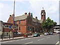
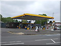
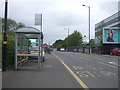
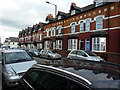
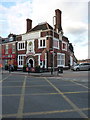

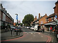
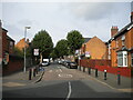
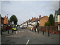
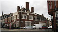
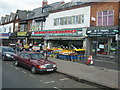
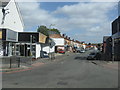
50 photos from this area
Area Information
Key information about the B11 3AJ including its size, population, and administrative classification.
- Area Type
- Postcode
- Area Size
- 9834 m²
- Population
- 1915
- Population Density
- 12792 people/km²
House Prices in B11 3AJ
58
Properties
£98,036
Average Sold Price
£30,000
Lowest Price
£166,470
Highest Price
Showing 58 properties
| Address | Type | Beds | Baths | Last Sale Price | Last Sale Date | |
|---|---|---|---|---|---|---|
| 81 Knowle Road, Birmingham, B11 3AJ | Terraced | 3 | 1 | £166,470 | Oct 2024 | |
| 47 Knowle Road, Birmingham, B11 3AJ | Terraced | 2 | 1 | £165,000 | Nov 2023 | |
| 67 Knowle Road, Birmingham, B11 3AJ | Terraced | 2 | 1 | £137,500 | Mar 2021 | |
| 115 Knowle Road, Birmingham, B11 3AJ | Detached | 3 | - | £147,000 | Jan 2020 | |
| 99 Knowle Road, Birmingham, B11 3AJ | house | - | - | £146,000 | Dec 2019 | |
| 73 Knowle Road, Birmingham, B11 3AJ | house | 3 | - | £130,000 | Feb 2019 | |
| 77 Knowle Road, Birmingham, B11 3AJ | Terraced | 3 | - | £108,500 | Nov 2016 | |
| 45 Knowle Road, Birmingham, B11 3AJ | house | - | - | £90,000 | Nov 2016 | |
| 87 Knowle Road, Birmingham, B11 3AJ | Terraced | 3 | 1 | £105,000 | Oct 2016 | |
| 7 Knowle Road, Birmingham, B11 3AJ | Terraced | 3 | - | £127,000 | Aug 2016 |
Page 1 of 6
Energy Efficiency in B11 3AJ
Amenities
Schools
| Rank | School | Type | Entry gender | Ages |
|---|
Explore more schools in this area
Go to Schools tabDemographics
Household Size
Family (3-5 people)
most common
Accommodation Type
Houses
most common
Tenure
47
majority
Ethnic Group
asian_total
most common
Religion
N/A
most common
Household Composition
N/A
most common
Age
22
median
Adults (30-64 years)
most common
Household Deprivation
N/A
with no deprivation
NS-SEC
10
in Lower managerial occupations
Explore more demographic insights in this area
Go to Demographics tabPlanning
Planning Constraints
- Flood RiskPremium
- Ramsar Wetland SitesPremium
- Area of Outstanding Natural BeautyPremium
- Protected Nature ReservePremium
- Protected WoodlandPremium