Area Overview for B11 1RW
Photos of B11 1RW
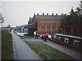
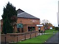
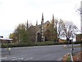
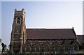
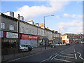
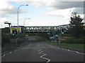

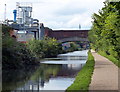
100 photos from this area
Area Information
Key information about the B11 1RW including its size, population, and administrative classification.
- Area Type
- Postcode
- Area Size
- 1.3 hectares
- Population
- 1847
- Population Density
- 4738 people/km²
House Prices in B11 1RW
57
Properties
£112,987
Average Sold Price
£11,800
Lowest Price
£220,000
Highest Price
Showing 57 properties
| Address | Type | Beds | Baths | Last Sale Price | Last Sale Date | |
|---|---|---|---|---|---|---|
| 6 Priestley Road, Birmingham, B11 1RW | Semi-detached | 3 | 1 | £210,000 | May 2024 | |
| 24 Priestley Road, Birmingham, B11 1RW | Terraced | 4 | 2 | £220,000 | Mar 2023 | |
| 14 Priestley Road, Birmingham, B11 1RW | house | - | - | £165,000 | May 2021 | |
| 20 Priestley Road, Birmingham, B11 1RW | Terraced | 4 | 2 | £165,000 | Apr 2021 | |
| 18 Priestley Road, Birmingham, B11 1RW | Terraced | 3 | - | £140,000 | Oct 2018 | |
| 23 Priestley Road, Birmingham, B11 1RW | house | 3 | 1 | £131,000 | Jun 2018 | |
| 3 Priestley Road, Birmingham, B11 1RW | Terraced | 4 | 2 | £115,000 | Oct 2017 | |
| 53 Priestley Road, Birmingham, B11 1RW | house | 3 | - | £70,000 | Nov 2012 | |
| 61 Priestley Road, Birmingham, B11 1RW | Flat | - | - | £37,000 | Sep 2011 | |
| 35 Priestley Road, Birmingham, B11 1RW | house | - | - | £130,000 | Apr 2010 |
Page 1 of 6
Energy Efficiency in B11 1RW
Amenities
Schools
| Rank | School | Type | Entry gender | Ages |
|---|
Explore more schools in this area
Go to Schools tabDemographics
Household Size
One person
most common
Accommodation Type
Houses
most common
Tenure
29
majority
Ethnic Group
asian_total
most common
Religion
N/A
most common
Household Composition
N/A
most common
Age
47
median
Adults (30-64 years)
most common
Household Deprivation
N/A
with no deprivation
NS-SEC
9
in Lower managerial occupations
Explore more demographic insights in this area
Go to Demographics tabPlanning
Planning Constraints
- Flood RiskPremium
- Ramsar Wetland SitesPremium
- Area of Outstanding Natural BeautyPremium
- Protected Nature ReservePremium
- Protected WoodlandPremium