Area Overview for B11 1HH
Photos of B11 1HH
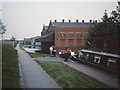
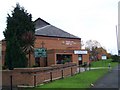
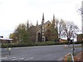
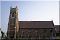
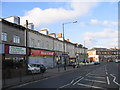
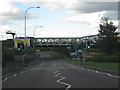

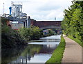
100 photos from this area
Area Information
Key information about the B11 1HH including its size, population, and administrative classification.
- Area Type
- Postcode
- Area Size
- 3.2 hectares
- Population
- 1847
- Population Density
- 4738 people/km²
House Prices in B11 1HH
59
Properties
£98,698
Average Sold Price
£31,000
Lowest Price
£230,000
Highest Price
Showing 59 properties
| Address | Type | Beds | Baths | Last Sale Price | Last Sale Date | |
|---|---|---|---|---|---|---|
| 77 Dearman Road, Birmingham, B11 1HH | house | - | - | £165,000 | Mar 2021 | |
| 3 Dearman Road, Birmingham, B11 1HH | Terraced | 2 | 1 | £129,000 | Mar 2021 | |
| 1 Dearman Road, Birmingham, B11 1HH | Terraced | 4 | 2 | £230,000 | Nov 2019 | |
| 107 Dearman Road, Birmingham, B11 1HH | house | - | - | £55,125 | Sep 2018 | |
| 57 Dearman Road, Birmingham, B11 1HH | house | - | - | £125,000 | Jun 2018 | |
| 15 Dearman Road, Birmingham, B11 1HH | Terraced | 3 | 1 | £127,950 | Aug 2016 | |
| 13 Dearman Road, Birmingham, B11 1HH | Terraced | 3 | - | £123,000 | Jun 2014 | |
| 83 Dearman Road, Birmingham, B11 1HH | house | 4 | - | £82,500 | Jun 2012 | |
| 7 Dearman Road, Birmingham, B11 1HH | house | - | - | £112,000 | Jul 2011 | |
| 11 Dearman Road, Birmingham, B11 1HH | house | - | - | £120,000 | Jun 2010 |
Page 1 of 6
Energy Efficiency in B11 1HH
Amenities
Schools
| Rank | School | Type | Entry gender | Ages |
|---|
Explore more schools in this area
Go to Schools tabDemographics
Household Size
One person
most common
Accommodation Type
Houses
most common
Tenure
29
majority
Ethnic Group
asian_total
most common
Religion
N/A
most common
Household Composition
N/A
most common
Age
47
median
Adults (30-64 years)
most common
Household Deprivation
N/A
with no deprivation
NS-SEC
9
in Lower managerial occupations
Explore more demographic insights in this area
Go to Demographics tabPlanning
Planning Constraints
- Flood RiskPremium
- Ramsar Wetland SitesPremium
- Area of Outstanding Natural BeautyPremium
- Protected Nature ReservePremium
- Protected WoodlandPremium