Area Overview for B10 9NJ
Photos of B10 9NJ
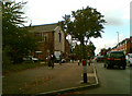
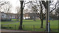
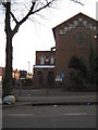
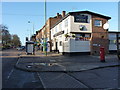
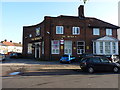
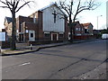
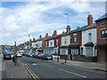
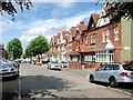
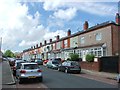
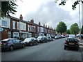
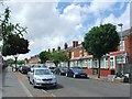
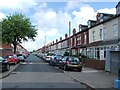
24 photos from this area
Area Information
Key information about the B10 9NJ including its size, population, and administrative classification.
- Area Type
- Postcode
- Area Size
- 1.1 hectares
- Population
- 1662
- Population Density
- 13339 people/km²
House Prices in B10 9NJ
28
Properties
£94,700
Average Sold Price
£25,600
Lowest Price
£185,000
Highest Price
Showing 28 properties
| Address | Type | Beds | Baths | Last Sale Price | Last Sale Date | |
|---|---|---|---|---|---|---|
| 156 Mansel Road, Birmingham, B10 9NJ | house | - | - | £185,000 | Apr 2023 | |
| 110 Mansel Road, Birmingham, B10 9NJ | Terraced | 2 | 1 | £130,000 | Jan 2020 | |
| 124 Mansel Road, Birmingham, B10 9NJ | Terraced | 3 | 1 | £136,000 | Oct 2019 | |
| 136 Mansel Road, Birmingham, B10 9NJ | house | - | - | £150,000 | Jul 2008 | |
| 144 Mansel Road, Birmingham, B10 9NJ | Terraced | - | - | £50,000 | Apr 2008 | |
| 106 Mansel Road, Birmingham, B10 9NJ | Terraced | 3 | 1 | £115,000 | Sep 2007 | |
| 104 Mansel Road, Birmingham, B10 9NJ | house | - | - | £109,000 | Aug 2006 | |
| 112 Mansel Road, Birmingham, B10 9NJ | house | - | - | £112,000 | Nov 2005 | |
| 148 Mansel Road, Birmingham, B10 9NJ | Terraced | - | - | £85,000 | Apr 2003 | |
| 120 Mansel Road, Birmingham, B10 9NJ | Terraced | - | - | £48,000 | Mar 2002 |
Page 1 of 3
Energy Efficiency in B10 9NJ
Amenities
Schools
| Rank | School | Type | Entry gender | Ages |
|---|
Explore more schools in this area
Go to Schools tabDemographics
Household Size
Family (3-5 people)
most common
Accommodation Type
Houses
most common
Tenure
55
majority
Ethnic Group
asian_total
most common
Religion
N/A
most common
Household Composition
N/A
most common
Age
22
median
Adults (30-64 years)
most common
Household Deprivation
N/A
with no deprivation
NS-SEC
9
in Lower managerial occupations
Explore more demographic insights in this area
Go to Demographics tabPlanning
Planning Constraints
- Flood RiskPremium
- Ramsar Wetland SitesPremium
- Area of Outstanding Natural BeautyPremium
- Protected Nature ReservePremium
- Protected WoodlandPremium