Area Overview for B10 9JD
Photos of B10 9JD


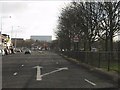
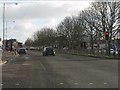
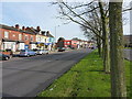
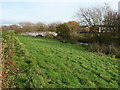
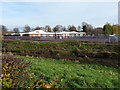
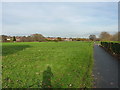
14 photos from this area
Area Information
Key information about the B10 9JD including its size, population, and administrative classification.
- Area Type
- Postcode
- Area Size
- 9387 m²
- Population
- 3378
- Population Density
- 14134 people/km²
House Prices in B10 9JD
31
Properties
£130,885
Average Sold Price
£40,000
Lowest Price
£220,000
Highest Price
Showing 31 properties
| Address | Type | Beds | Baths | Last Sale Price | Last Sale Date | |
|---|---|---|---|---|---|---|
| 31 Farmer Road, Birmingham, B10 9JD | Terraced | 3 | 1 | £220,000 | Feb 2024 | |
| 53 Farmer Road, Birmingham, B10 9JD | house | - | - | £159,000 | Dec 2023 | |
| 43 Farmer Road, Birmingham, B10 9JD | house | - | - | £187,000 | Feb 2022 | |
| 45 Farmer Road, Birmingham, B10 9JD | house | - | - | £176,000 | Aug 2021 | |
| 17 Farmer Road, Birmingham, B10 9JD | house | 3 | 1 | £185,000 | Jul 2020 | |
| 29 Farmer Road, Birmingham, B10 9JD | house | 2 | - | £90,000 | Jan 2015 | |
| 3 Farmer Road, Birmingham, B10 9JD | house | 2 | - | £127,000 | Mar 2014 | |
| 25 Farmer Road, Birmingham, B10 9JD | house | 3 | - | £103,000 | Apr 2013 | |
| 59 Farmer Road, Birmingham, B10 9JD | house | - | - | £126,000 | Aug 2009 | |
| 49 Farmer Road, Birmingham, B10 9JD | house | 3 | - | £124,000 | Apr 2007 |
Page 1 of 4
Energy Efficiency in B10 9JD
Amenities
Schools
| Rank | School | Type | Entry gender | Ages |
|---|
Explore more schools in this area
Go to Schools tabDemographics
Household Size
Family (3-5 people)
most common
Accommodation Type
Houses
most common
Tenure
57
majority
Ethnic Group
asian_total
most common
Religion
N/A
most common
Household Composition
N/A
most common
Age
22
median
Adults (30-64 years)
most common
Household Deprivation
N/A
with no deprivation
NS-SEC
11
in Lower managerial occupations
Explore more demographic insights in this area
Go to Demographics tabPlanning
Planning Constraints
- Flood RiskPremium
- Ramsar Wetland SitesPremium
- Area of Outstanding Natural BeautyPremium
- Protected Nature ReservePremium
- Protected WoodlandPremium