Area Overview for B10 0BL
Photos of B10 0BL

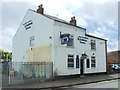
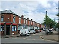
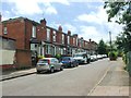
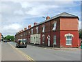
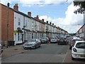
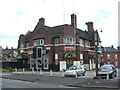
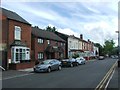
76 photos from this area
Area Information
Key information about the B10 0BL including its size, population, and administrative classification.
- Area Type
- Postcode
- Area Size
- 6913 m²
- Population
- 1899
- Population Density
- 5465 people/km²
House Prices in B10 0BL
20
Properties
£103,556
Average Sold Price
£35,000
Lowest Price
£195,000
Highest Price
Showing 20 properties
| Address | Type | Beds | Baths | Last Sale Price | Last Sale Date | |
|---|---|---|---|---|---|---|
| 12 Barnford Close, Birmingham, B10 0BL | Terraced | 3 | 1 | £160,000 | Sep 2023 | |
| 9 Barnford Close, Birmingham, B10 0BL | house | - | - | £120,000 | Dec 2019 | |
| 4 Barnford Close, Birmingham, B10 0BL | house | - | - | £75,500 | Sep 2018 | |
| 7 Barnford Close, Birmingham, B10 0BL | house | - | - | £122,000 | Jun 2009 | |
| 19 Barnford Close, Birmingham, B10 0BL | house | - | - | £195,000 | Jun 2006 | |
| 15 Barnford Close, Birmingham, B10 0BL | house | - | - | £121,000 | Sep 2005 | |
| 14 Barnford Close, Birmingham, B10 0BL | Terraced | - | - | £62,000 | Sep 2001 | |
| 5 Barnford Close, Birmingham, B10 0BL | Terraced | - | - | £35,000 | Oct 1999 | |
| 8 Barnford Close, Birmingham, B10 0BL | house | - | - | £41,500 | Feb 1996 | |
| 17 Barnford Close, Birmingham, B10 0BL | house | - | - | - | - |
Page 1 of 2
Energy Efficiency in B10 0BL
Amenities
Schools
| Rank | School | Type | Entry gender | Ages |
|---|
Explore more schools in this area
Go to Schools tabDemographics
Household Size
One person
most common
Accommodation Type
Houses
most common
Tenure
28
majority
Ethnic Group
asian_total
most common
Religion
N/A
most common
Household Composition
N/A
most common
Age
47
median
Adults (30-64 years)
most common
Household Deprivation
N/A
with no deprivation
NS-SEC
7
in Lower managerial occupations
Explore more demographic insights in this area
Go to Demographics tabPlanning
Planning Constraints
- Flood RiskPremium
- Ramsar Wetland SitesPremium
- Area of Outstanding Natural BeautyPremium
- Protected Nature ReservePremium
- Protected WoodlandPremium