Area Overview for TQ5 0PR
Photos of TQ5 0PR
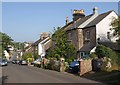
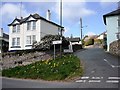
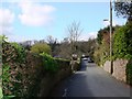
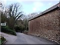
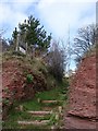
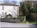
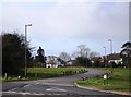
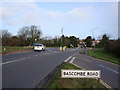
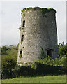
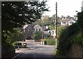
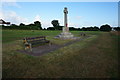
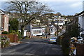
96 photos from this area
Area Information
Key information about the TQ5 0PR including its size, population, and administrative classification.
- Area Type
- Postcode
- Area Size
- 1.8 hectares
- Population
- 1243
- Population Density
- 260 people/km²
House Prices in TQ5 0PR
26
Properties
£167,705
Average Sold Price
£49,250
Lowest Price
£215,000
Highest Price
Showing 26 properties
| Address | Type | Beds | Baths | Last Sale Price | Last Sale Date | |
|---|---|---|---|---|---|---|
| 1B Hillrise, Brixham, TQ5 0PR | Semi-detached | 2 | 1 | £215,000 | Oct 2023 | |
| 50 Hillrise, Brixham, TQ5 0PR | Bungalow | 1 | 1 | £205,000 | Mar 2022 | |
| 4 Hillrise, Brixham, TQ5 0PR | Terraced | 3 | 1 | £210,000 | Mar 2018 | |
| 16 Hillrise, Brixham, TQ5 0PR | Terraced | 2 | 1 | £213,500 | Oct 2017 | |
| 6 Hillrise, Brixham, TQ5 0PR | Terraced | 3 | 1 | £194,000 | May 2017 | |
| 1 Hillrise, Brixham, TQ5 0PR | Terraced | 3 | 1 | £180,000 | Feb 2017 | |
| 12 Hillrise, Brixham, TQ5 0PR | Terraced | 3 | 1 | £168,000 | Apr 2016 | |
| 1A Hillrise, Brixham, TQ5 0PR | Semi-detached | 2 | - | £120,000 | Mar 2012 | |
| 2 Hillrise, Brixham, TQ5 0PR | house | 3 | - | £170,000 | Jul 2007 | |
| 8 Hillrise, Brixham, TQ5 0PR | Terraced | - | - | £120,000 | Jul 2006 |
Page 1 of 3
Energy Efficiency in TQ5 0PR
Amenities
Schools
| Rank | School | Type | Entry gender | Ages |
|---|
Explore more schools in this area
Go to Schools tabDemographics
Household Size
Two person
most common
Accommodation Type
Houses
most common
Tenure
78
majority
Ethnic Group
White
most common
Religion
N/A
most common
Household Composition
N/A
most common
Age
47
median
Elderly (65+ years)
most common
Household Deprivation
N/A
with no deprivation
NS-SEC
36
in Lower managerial occupations
Explore more demographic insights in this area
Go to Demographics tabPlanning
Planning Constraints
- Flood RiskPremium
- Ramsar Wetland SitesPremium
- Area of Outstanding Natural BeautyPremium
- Protected Nature ReservePremium
- Protected WoodlandPremium