Area Overview for TQ5 0NQ
Photos of TQ5 0NQ
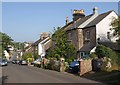
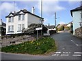
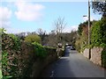
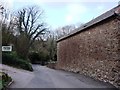
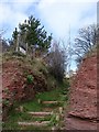
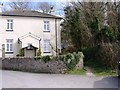
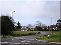
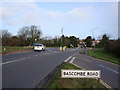
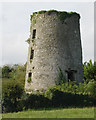
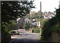
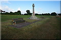
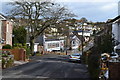
96 photos from this area
Area Information
Key information about the TQ5 0NQ including its size, population, and administrative classification.
- Area Type
- Postcode
- Area Size
- 4.0 hectares
- Population
- 1243
- Population Density
- 260 people/km²
House Prices in TQ5 0NQ
64
Properties
£255,043
Average Sold Price
£45,000
Lowest Price
£517,500
Highest Price
Showing 64 properties
| Address | Type | Beds | Baths | Last Sale Price | Last Sale Date | |
|---|---|---|---|---|---|---|
| 26 Stoke Gabriel Road, Brixham, TQ5 0NQ | Detached | 4 | 2 | £515,000 | May 2024 | |
| 53 Stoke Gabriel Road, Brixham, TQ5 0NQ | house | 3 | 2 | £517,500 | Mar 2024 | |
| 21 Stoke Gabriel Road, Brixham, TQ5 0NQ | house | 3 | 1 | £310,000 | Mar 2024 | |
| 36 Stoke Gabriel Road, Brixham, TQ5 0NQ | Terraced | - | - | £215,000 | Feb 2022 | |
| 18 Stoke Gabriel Road, Brixham, TQ5 0NQ | Detached | - | - | £450,000 | Feb 2022 | |
| 27 Stoke Gabriel Road, Brixham, TQ5 0NQ | Terraced | 3 | 1 | £310,000 | Dec 2021 | |
| 30 Stoke Gabriel Road, Brixham, TQ5 0NQ | house | - | - | £460,000 | Apr 2021 | |
| 42 Stoke Gabriel Road, Brixham, TQ5 0NQ | Maisonette | 3 | 1 | £148,750 | Oct 2016 | |
| 45 Stoke Gabriel Road, Brixham, TQ5 0NQ | Detached | 4 | 1 | £345,000 | Oct 2015 | |
| 12 Stoke Gabriel Road, Brixham, TQ5 0NQ | Terraced | 3 | - | £190,000 | Aug 2014 |
Page 1 of 7
Energy Efficiency in TQ5 0NQ
Amenities
Schools
| Rank | School | Type | Entry gender | Ages |
|---|
Explore more schools in this area
Go to Schools tabDemographics
Household Size
Two person
most common
Accommodation Type
Houses
most common
Tenure
78
majority
Ethnic Group
White
most common
Religion
N/A
most common
Household Composition
N/A
most common
Age
47
median
Elderly (65+ years)
most common
Household Deprivation
N/A
with no deprivation
NS-SEC
36
in Lower managerial occupations
Explore more demographic insights in this area
Go to Demographics tabPlanning
Planning Constraints
- Flood RiskPremium
- Ramsar Wetland SitesPremium
- Area of Outstanding Natural BeautyPremium
- Protected Nature ReservePremium
- Protected WoodlandPremium