Area Overview for TQ5 0PN
Photos of TQ5 0PN
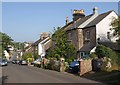
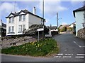
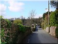
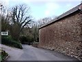
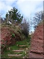
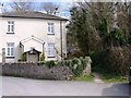
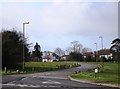
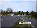
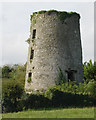
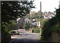
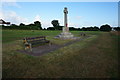
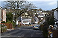
96 photos from this area
Area Information
Key information about the TQ5 0PN including its size, population, and administrative classification.
- Area Type
- Postcode
- Area Size
- 1.7 hectares
- Population
- 1383
- Population Density
- 1011 people/km²
House Prices in TQ5 0PN
11
Properties
£121,369
Average Sold Price
£50,000
Lowest Price
£179,000
Highest Price
Showing 11 properties
| Address | Type | Beds | Baths | Last Sale Price | Last Sale Date | |
|---|---|---|---|---|---|---|
| 4 Dart View Road, Brixham, TQ5 0PN | Semi-detached | 2 | 1 | £179,000 | Feb 2016 | |
| 10 Dart View Road, Brixham, TQ5 0PN | Bungalow | 2 | - | £172,950 | Jul 2014 | |
| 18 Dart View Road, Brixham, TQ5 0PN | Bungalow | 2 | - | £175,000 | Dec 2013 | |
| 8 Dart View Road, Brixham, TQ5 0PN | Bungalow | - | - | £134,000 | Feb 2004 | |
| 20 Dart View Road, Brixham, TQ5 0PN | Bungalow | - | - | £114,000 | May 2002 | |
| 2 Dart View Road, Brixham, TQ5 0PN | Semi-detached | 4 | 1 | £90,000 | Apr 2002 | |
| 14 Dart View Road, Brixham, TQ5 0PN | Semi-detached | - | - | £56,000 | Apr 1997 | |
| 6 Dart View Road, Brixham, TQ5 0PN | Semi-detached | - | - | £50,000 | May 1995 | |
| 12 Dart View Road, Brixham, TQ5 0PN | Semi-detached | 2 | 1 | - | - | |
| 16 Dart View Road, Brixham, TQ5 0PN | Semi-detached | - | - | - | - |
Page 1 of 2
Energy Efficiency in TQ5 0PN
Amenities
Schools
| Rank | School | Type | Entry gender | Ages |
|---|
Explore more schools in this area
Go to Schools tabDemographics
Household Size
Two person
most common
Accommodation Type
Houses
most common
Tenure
94
majority
Ethnic Group
White
most common
Religion
N/A
most common
Household Composition
N/A
most common
Age
47
median
Elderly (65+ years)
most common
Household Deprivation
N/A
with no deprivation
NS-SEC
40
in Lower managerial occupations
Explore more demographic insights in this area
Go to Demographics tabPlanning
Planning Constraints
- Flood RiskPremium
- Ramsar Wetland SitesPremium
- Area of Outstanding Natural BeautyPremium
- Protected Nature ReservePremium
- Protected WoodlandPremium