Area Overview for TQ5 0PL
Photos of TQ5 0PL
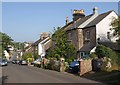
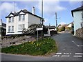
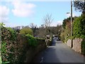
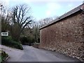
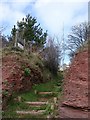
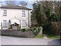
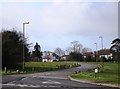
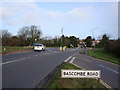
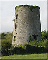
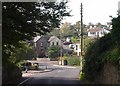
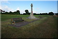
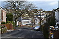
96 photos from this area
Area Information
Key information about the TQ5 0PL including its size, population, and administrative classification.
- Area Type
- Postcode
- Area Size
- 3.7 hectares
- Population
- 1383
- Population Density
- 1011 people/km²
House Prices in TQ5 0PL
18
Properties
£210,113
Average Sold Price
£51,000
Lowest Price
£450,000
Highest Price
Showing 18 properties
| Address | Type | Beds | Baths | Last Sale Price | Last Sale Date | |
|---|---|---|---|---|---|---|
| 40 Langdon Fields, Brixham, TQ5 0PL | Retail | 3 | 2 | £375,000 | Oct 2022 | |
| 38 Langdon Fields, Brixham, TQ5 0PL | Bungalow | 3 | 2 | £450,000 | Jan 2021 | |
| 36 Langdon Fields, Brixham, TQ5 0PL | Bungalow | 2 | 1 | £316,250 | May 2015 | |
| 48 Langdon Fields, Brixham, TQ5 0PL | Semi-detached | 4 | - | £280,000 | Apr 2014 | |
| 12 Langdon Fields, Brixham, TQ5 0PL | Bungalow | 2 | - | £335,000 | Feb 2011 | |
| 45 Langdon Fields, Brixham, TQ5 0PL | Bungalow | - | - | £185,000 | Aug 2010 | |
| 11 Langdon Fields, Brixham, TQ5 0PL | Bungalow | 3 | - | £288,000 | Dec 2009 | |
| 46 Langdon Fields, Brixham, TQ5 0PL | Bungalow | 2 | - | £199,950 | Jul 2007 | |
| 15 Langdon Fields, Brixham, TQ5 0PL | Detached | - | - | £256,000 | Jan 2005 | |
| 41 Langdon Fields, Brixham, TQ5 0PL | Semi-detached | - | - | £100,000 | Jul 2001 |
Page 1 of 2
Energy Efficiency in TQ5 0PL
Amenities
Schools
| Rank | School | Type | Entry gender | Ages |
|---|
Explore more schools in this area
Go to Schools tabDemographics
Household Size
Two person
most common
Accommodation Type
Houses
most common
Tenure
94
majority
Ethnic Group
White
most common
Religion
N/A
most common
Household Composition
N/A
most common
Age
47
median
Elderly (65+ years)
most common
Household Deprivation
N/A
with no deprivation
NS-SEC
40
in Lower managerial occupations
Explore more demographic insights in this area
Go to Demographics tabPlanning
Planning Constraints
- Flood RiskPremium
- Ramsar Wetland SitesPremium
- Area of Outstanding Natural BeautyPremium
- Protected Nature ReservePremium
- Protected WoodlandPremium