Area Overview for TQ4 6JW
Photos of TQ4 6JW
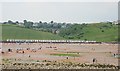
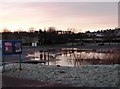
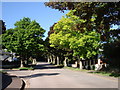
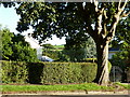
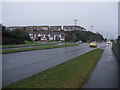
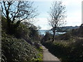
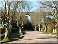
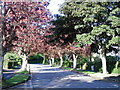
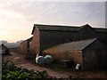
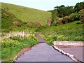
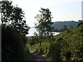
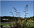
100 photos from this area
Area Information
Key information about the TQ4 6JW including its size, population, and administrative classification.
- Area Type
- Postcode
- Area Size
- 5.2 hectares
- Population
- 1356
- Population Density
- 468 people/km²
House Prices in TQ4 6JW
33
Properties
£276,479
Average Sold Price
£53,000
Lowest Price
£675,000
Highest Price
Showing 33 properties
| Address | Type | Beds | Baths | Last Sale Price | Last Sale Date | |
|---|---|---|---|---|---|---|
| 64 Broadsands Avenue, Paignton, TQ4 6JW | Bungalow | 2 | 1 | £495,000 | Apr 2025 | |
| 74 Broadsands Avenue, Paignton, TQ4 6JW | Bungalow | 3 | 1 | £675,000 | Feb 2025 | |
| 78 Broadsands Avenue, Paignton, TQ4 6JW | Bungalow | 2 | 1 | £655,000 | May 2024 | |
| 98 Broadsands Avenue, Paignton, TQ4 6JW | Bungalow | - | - | £545,000 | Oct 2021 | |
| 110 Broadsands Avenue, Paignton, TQ4 6JW | house | - | - | £87,000 | May 2021 | |
| 124 Broadsands Avenue, Paignton, TQ4 6JW | Bungalow | 2 | - | £380,000 | Feb 2021 | |
| 120 Broadsands Avenue, Paignton, TQ4 6JW | Bungalow | 3 | 1 | £359,000 | Nov 2020 | |
| 94 Broadsands Avenue, Paignton, TQ4 6JW | Bungalow | 4 | 1 | £350,000 | Aug 2019 | |
| 80 Broadsands Avenue, Paignton, TQ4 6JW | Bungalow | 2 | 1 | £355,000 | Dec 2018 | |
| 92 Broadsands Avenue, Paignton, TQ4 6JW | Bungalow | 3 | 2 | £435,000 | Oct 2018 |
Page 1 of 4
Energy Efficiency in TQ4 6JW
Amenities
Schools
| Rank | School | Type | Entry gender | Ages |
|---|
Explore more schools in this area
Go to Schools tabDemographics
Household Size
Two person
most common
Accommodation Type
Houses
most common
Tenure
93
majority
Ethnic Group
White
most common
Religion
N/A
most common
Household Composition
N/A
most common
Age
70
median
Elderly (65+ years)
most common
Household Deprivation
N/A
with no deprivation
NS-SEC
42
in Lower managerial occupations
Explore more demographic insights in this area
Go to Demographics tabPlanning
Planning Constraints
- Flood RiskPremium
- Ramsar Wetland SitesPremium
- Area of Outstanding Natural BeautyPremium
- Protected Nature ReservePremium
- Protected WoodlandPremium