Area Overview for TA18 8HE
Photos of TA18 8HE
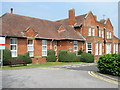
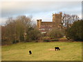
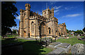
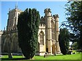

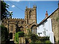
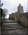
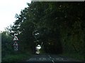
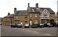
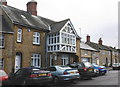
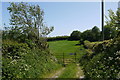
76 photos from this area
Area Information
Key information about the TA18 8HE including its size, population, and administrative classification.
- Area Type
- Postcode
- Area Size
- 2.0 hectares
- Population
- 1671
- Population Density
- 1068 people/km²
House Prices in TA18 8HE
37
Properties
£174,690
Average Sold Price
£32,500
Lowest Price
£505,000
Highest Price
Showing 37 properties
| Address | Type | Beds | Baths | Last Sale Price | Last Sale Date | |
|---|---|---|---|---|---|---|
| 25 Lyme Road, Crewkerne, TA18 8HE | Cottage | 2 | 1 | £177,000 | Jun 2025 | |
| 15 Lyme Road, Crewkerne, TA18 8HE | Terraced | 2 | 1 | £195,000 | Mar 2025 | |
| 21 Lyme Road, Crewkerne, TA18 8HE | Terraced | 5 | 2 | £505,000 | Jan 2025 | |
| 49 Lyme Road, Crewkerne, TA18 8HE | house | 3 | 2 | £190,000 | Jul 2023 | |
| 47 Lyme Road, Crewkerne, TA18 8HE | Terraced | 2 | - | £135,000 | Apr 2023 | |
| 7 Lyme Road, Crewkerne, TA18 8HE | house | 3 | 1 | £235,000 | Aug 2022 | |
| 11 Lyme Road, Crewkerne, TA18 8HE | Terraced | 3 | 1 | £195,000 | Dec 2021 | |
| 37 Lyme Road, Crewkerne, TA18 8HE | Terraced | 2 | 1 | £181,000 | Nov 2020 | |
| 45 Lyme Road, Crewkerne, TA18 8HE | Terraced | 3 | 1 | £165,000 | Jan 2019 | |
| 33 Lyme Road, Crewkerne, TA18 8HE | Terraced | 3 | 2 | £150,000 | Sep 2017 |
Page 1 of 4
Energy Efficiency in TA18 8HE
Amenities
Schools
| Rank | School | Type | Entry gender | Ages |
|---|
Explore more schools in this area
Go to Schools tabDemographics
Household Size
One person
most common
Accommodation Type
Houses
most common
Tenure
66
majority
Ethnic Group
White
most common
Religion
N/A
most common
Household Composition
N/A
most common
Age
47
median
Adults (30-64 years)
most common
Household Deprivation
N/A
with no deprivation
NS-SEC
33
in Lower managerial occupations
Explore more demographic insights in this area
Go to Demographics tabPlanning
Planning Constraints
- Flood RiskPremium
- Ramsar Wetland SitesPremium
- Area of Outstanding Natural BeautyPremium
- Protected Nature ReservePremium
- Protected WoodlandPremium