Area Overview for TA18 8HF
Photos of TA18 8HF
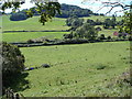
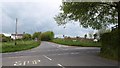
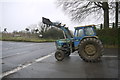
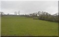
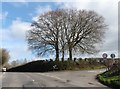
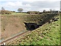
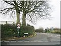
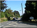
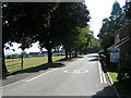
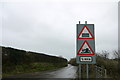
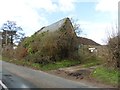
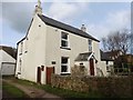
14 photos from this area
Area Information
Key information about the TA18 8HF including its size, population, and administrative classification.
- Area Type
- Postcode
- Area Size
- 6.1 hectares
- Population
- 1671
- Population Density
- 1068 people/km²
House Prices in TA18 8HF
22
Properties
£333,673
Average Sold Price
£70,250
Lowest Price
£570,000
Highest Price
Showing 22 properties
| Address | Type | Beds | Baths | Last Sale Price | Last Sale Date | |
|---|---|---|---|---|---|---|
| 59 Lyme Road, Crewkerne, TA18 8HF | Detached | 3 | 3 | £525,000 | Aug 2025 | |
| 57 Lyme Road, Crewkerne, TA18 8HF | Bungalow | - | - | £350,000 | Sep 2020 | |
| 61 Lyme Road, Crewkerne, TA18 8HF | Bungalow | - | - | £260,000 | Feb 2019 | |
| 20 Lyme Road, Crewkerne, TA18 8HF | Detached | 6 | 2 | £570,000 | May 2018 | |
| 69 Lyme Road, Crewkerne, TA18 8HF | house | - | - | £442,500 | Dec 2017 | |
| 22 Lyme Road, Crewkerne, TA18 8HF | Detached | 4 | 2 | £425,000 | Sep 2016 | |
| 24 Lyme Road, Crewkerne, TA18 8HF | Bungalow | 2 | 3 | £365,000 | Oct 2013 | |
| Thorne Lea, Lyme Road, Crewkerne, TA18 8HF | Detached | - | - | £460,000 | Mar 2008 | |
| Ridgemead, 67 Lyme Road, Crewkerne, TA18 8HF | Detached | - | - | £297,000 | Oct 2006 | |
| 63 Lyme Road, Crewkerne, TA18 8HF | Detached | 4 | 2 | £190,000 | Jul 2002 |
Page 1 of 3
Energy Efficiency in TA18 8HF
Amenities
Schools
| Rank | School | Type | Entry gender | Ages |
|---|
Explore more schools in this area
Go to Schools tabDemographics
Household Size
One person
most common
Accommodation Type
Houses
most common
Tenure
66
majority
Ethnic Group
White
most common
Religion
N/A
most common
Household Composition
N/A
most common
Age
47
median
Adults (30-64 years)
most common
Household Deprivation
N/A
with no deprivation
NS-SEC
33
in Lower managerial occupations
Explore more demographic insights in this area
Go to Demographics tabPlanning
Planning Constraints
- Flood RiskPremium
- Ramsar Wetland SitesPremium
- Area of Outstanding Natural BeautyPremium
- Protected Nature ReservePremium
- Protected WoodlandPremium