Area Overview for SP5 1SN
Photos of SP5 1SN
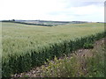
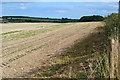
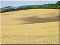
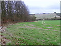
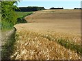
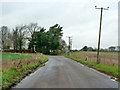
6 photos from this area
Area Information
Key information about the SP5 1SN including its size, population, and administrative classification.
- Area Type
- Postcode
- Area Size
- 37.9 hectares
- Population
- 1943
- Population Density
- 62 people/km²
House Prices in SP5 1SN
26
Properties
£240,713
Average Sold Price
£64,950
Lowest Price
£573,000
Highest Price
Showing 26 properties
| Address | Type | Beds | Baths | Last Sale Price | Last Sale Date | |
|---|---|---|---|---|---|---|
| 1 Great Croft, Firsdown, SP5 1SN | house | - | - | £573,000 | Nov 2020 | |
| 17 Great Croft, Firsdown, SP5 1SN | Bungalow | 2 | 1 | £230,000 | Jun 2019 | |
| 13 Great Croft, Firsdown, SP5 1SN | Bungalow | 3 | 1 | £305,000 | Jun 2018 | |
| 2 Great Croft, Firsdown, SP5 1SN | Detached | 2 | 1 | £264,000 | Nov 2017 | |
| 7 Great Croft, Firsdown, SP5 1SN | Bungalow | - | - | £362,500 | Jul 2017 | |
| 15 Great Croft, Firsdown, SP5 1SN | Bungalow | - | - | £275,000 | Jan 2017 | |
| 20 Great Croft, Firsdown, SP5 1SN | Bungalow | - | - | £235,000 | Sep 2011 | |
| 8 Great Croft, Firsdown, SP5 1SN | Bungalow | 3 | - | £220,000 | Jun 2011 | |
| 11 Great Croft, Firsdown, SP5 1SN | house | - | - | £235,000 | Jun 2010 | |
| 1A Great Croft, Firsdown, SP5 1SN | house | - | - | £277,500 | Aug 2009 |
Page 1 of 3
Energy Efficiency in SP5 1SN
Amenities
Schools
| Rank | School | Type | Entry gender | Ages |
|---|
Explore more schools in this area
Go to Schools tabDemographics
Household Size
Two person
most common
Accommodation Type
Houses
most common
Tenure
90
majority
Ethnic Group
White
most common
Religion
N/A
most common
Household Composition
N/A
most common
Age
47
median
Adults (30-64 years)
most common
Household Deprivation
N/A
with no deprivation
NS-SEC
47
in Lower managerial occupations
Explore more demographic insights in this area
Go to Demographics tabPlanning
Planning Constraints
- Flood RiskPremium
- Ramsar Wetland SitesPremium
- Area of Outstanding Natural BeautyPremium
- Protected Nature ReservePremium
- Protected WoodlandPremium